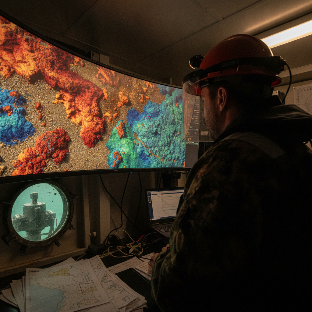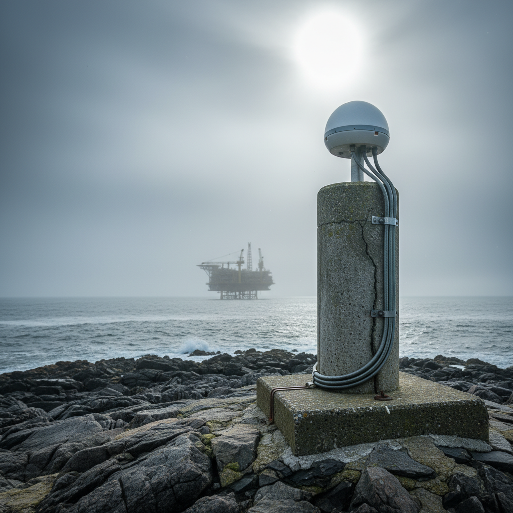
Backscatter you already own: turning MBES returns into seabed maps
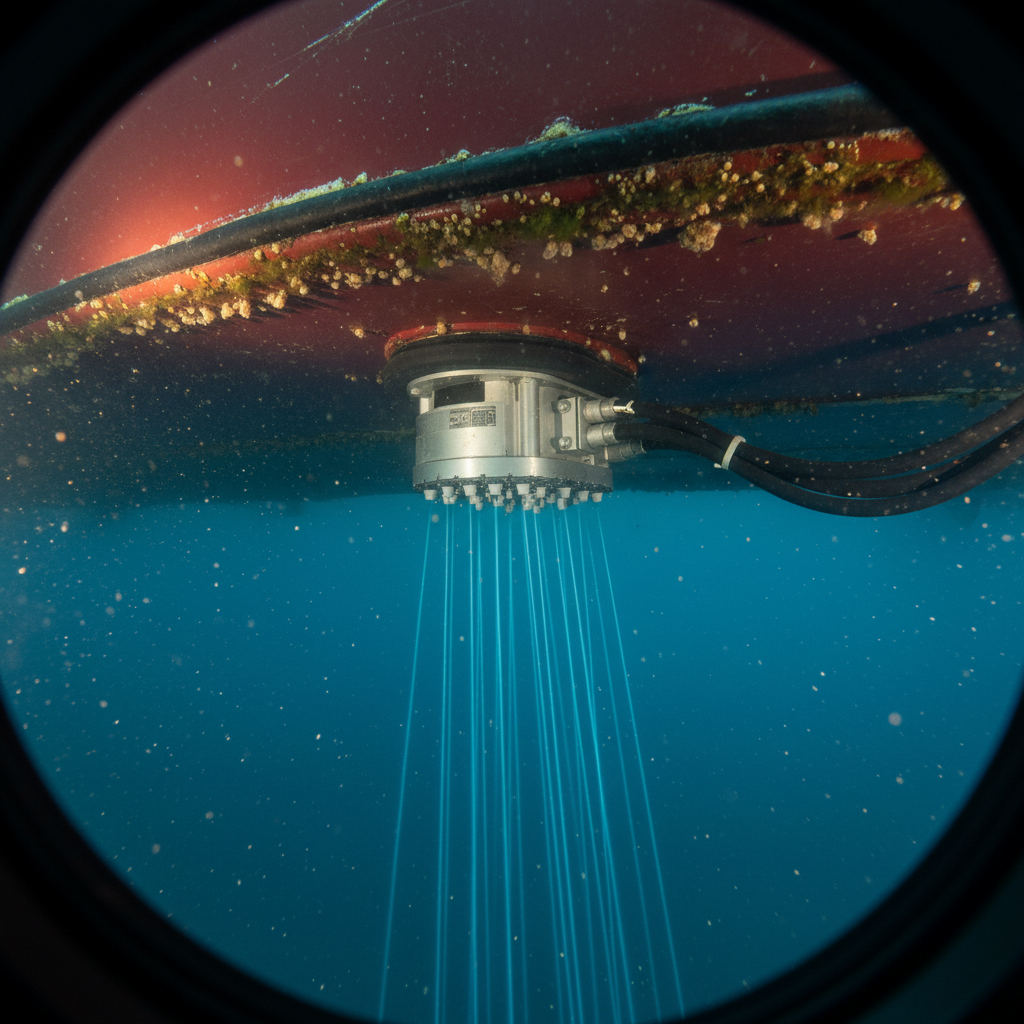
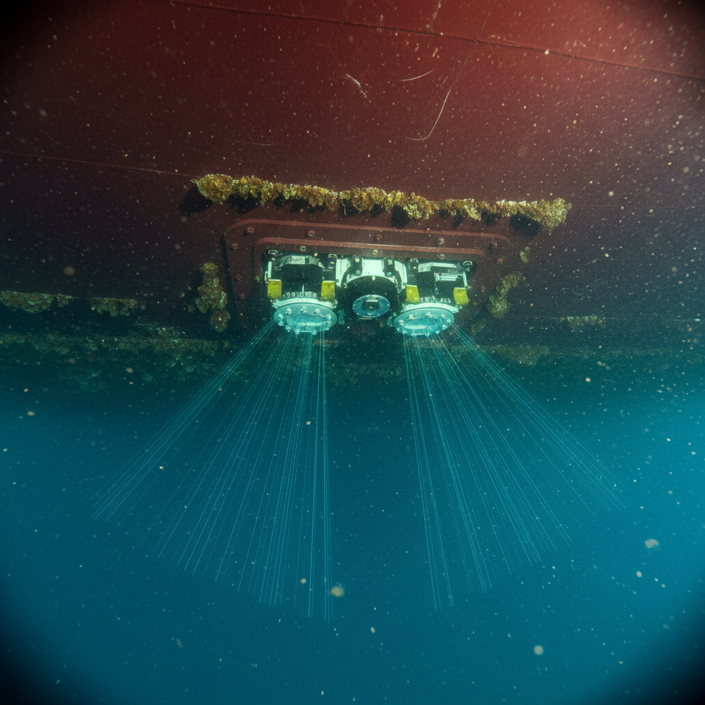
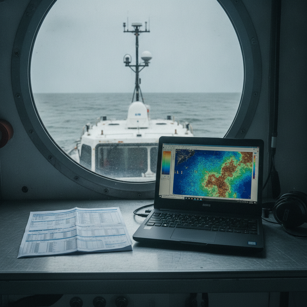
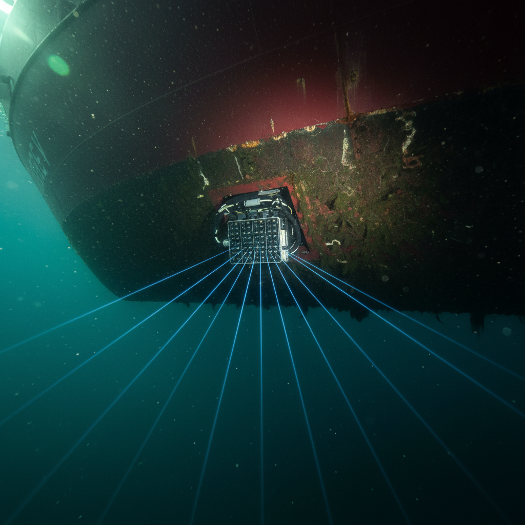
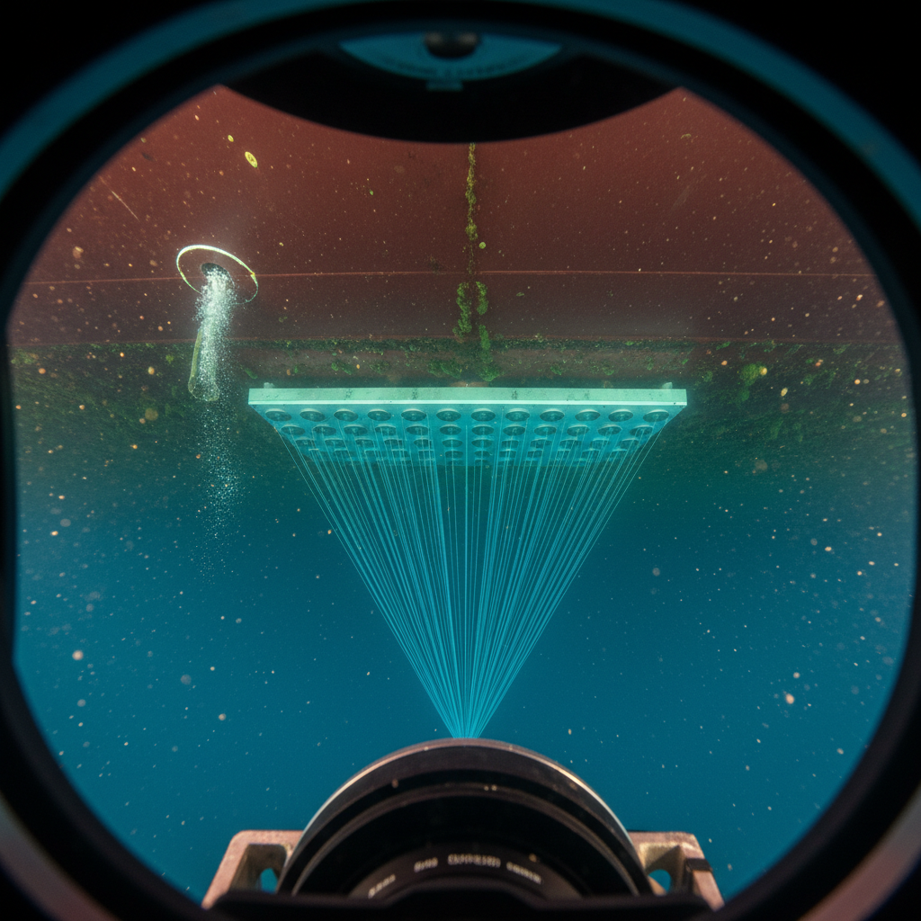
Every multibeam survey records backscatter alongside depth. We assess when it is worth processing into seabed classification, what governs data usability, and how to decide.
Practical analysis of geomatics standards, risks, and decision-making – written by experts.
Every multibeam survey records backscatter alongside depth. We assess when it is worth processing into seabed classification, what governs data usability, and how to decide.
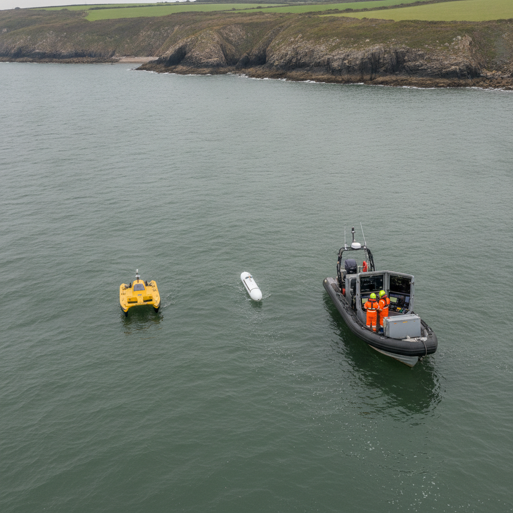
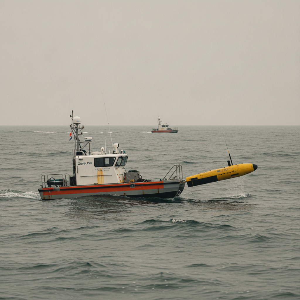
The Plymouth SSCS trial shows multi-vehicle marine autonomy working. We analyse the positioning and coordination choices that decide survey coverage.
Thales Alenia Space wants to move SBAS from GEO into a LEO network. We assess what spatialised augmentation means for DP accuracy, integrity and remote offshore work.
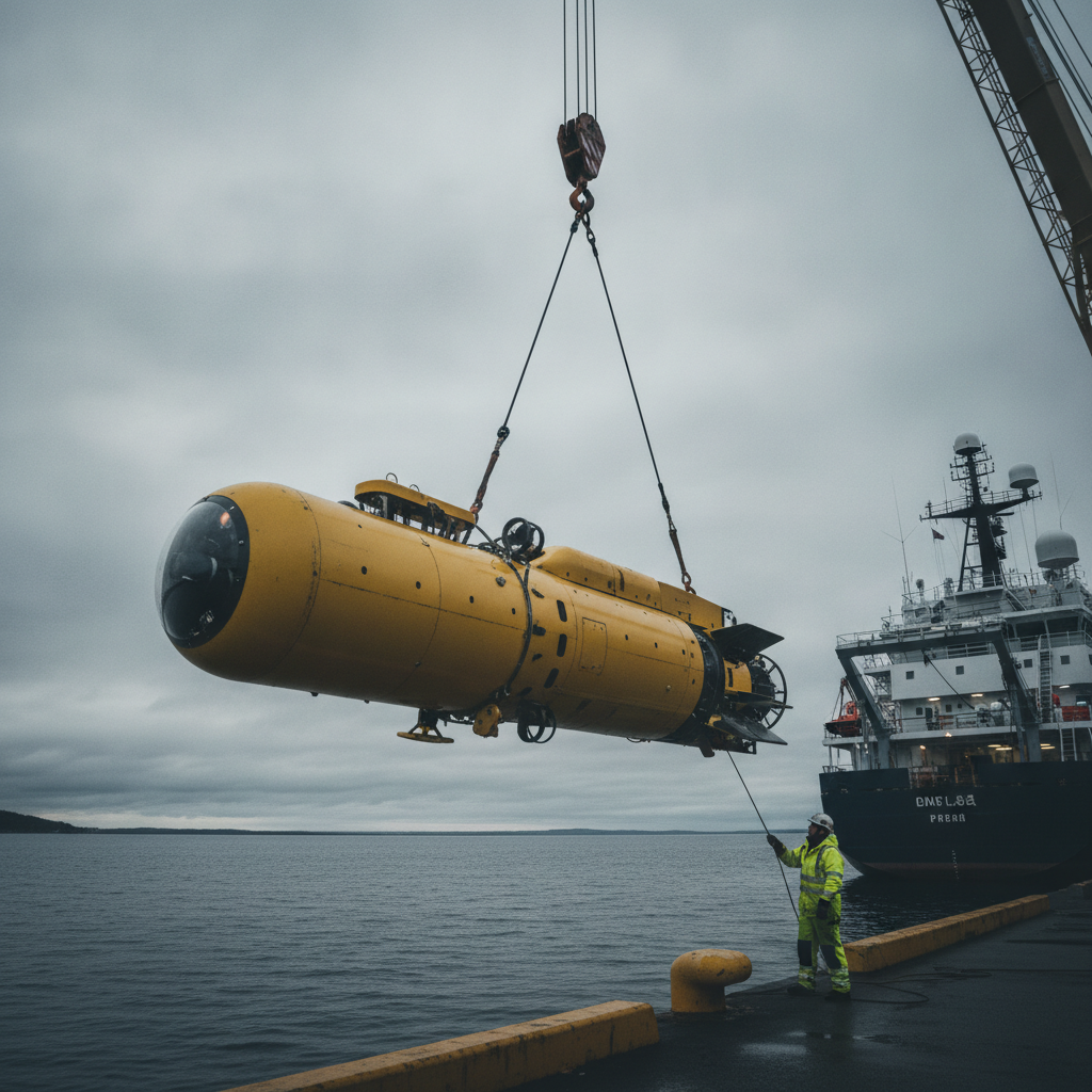
Norway's HUGIN Superior brings deep-sea AUV mapping in-house. We unpack the navigation, bathymetry and assurance decisions owners face at 6,000 m and high latitude.
A client-decision guide to visual AUV navigation when acoustic aiding drops out – estimator consistency, geodetic traceability and how to specify and accept it.
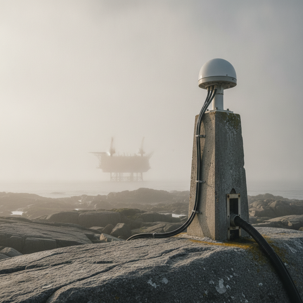
Norway's expanding GNSS monitoring network exposes a positioning failure mode offshore teams must design around: jamming and spoofing in a contested spectrum.
A senior engineering read on DNK's LEO-based A-PNT programme with Iridium – where backup positioning against GNSS jamming and spoofing earns its keep, and where it doesn't.
DP position-loss incidents keep repeating not because the technology is immature, but because concealing them is still rational. A failure analysis of the industry's broken learning loop – and what operators can do about it.
How the 2026 revision of DNV-RP-0585 reshapes geotechnical and geophysical survey scope for offshore wind in seismically active regions.
A senior engineering read on synthetic aperture sonar versus multibeam for wreck and obstruction surveys – where cm-scale imagery justifies the cost, and where it does not.
ICAO now treats GNSS jamming as a chronic aviation risk. We unpack what that framework means for offshore DP positioning and PNT resilience.
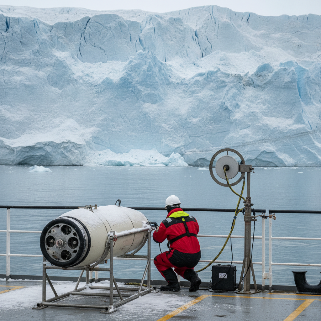
The US Space Force may cancel RTX's GPS III ground control contract. We unpack what OCX uncertainty means for offshore positioning continuity and backup strategy.
The 2026 SWF counterspace report puts GNSS interference centre stage. We analyse how jamming and spoofing break offshore survey positioning, and how to harden it.
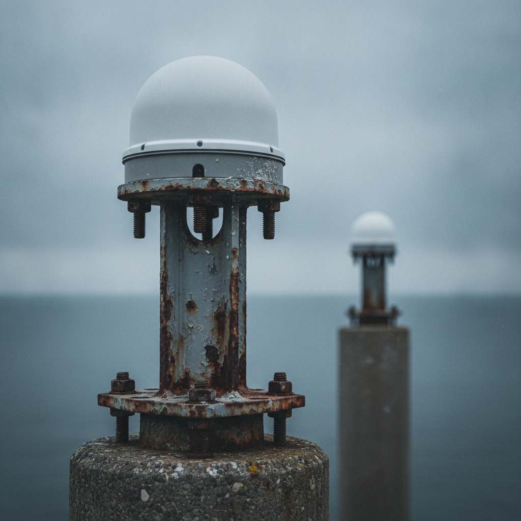
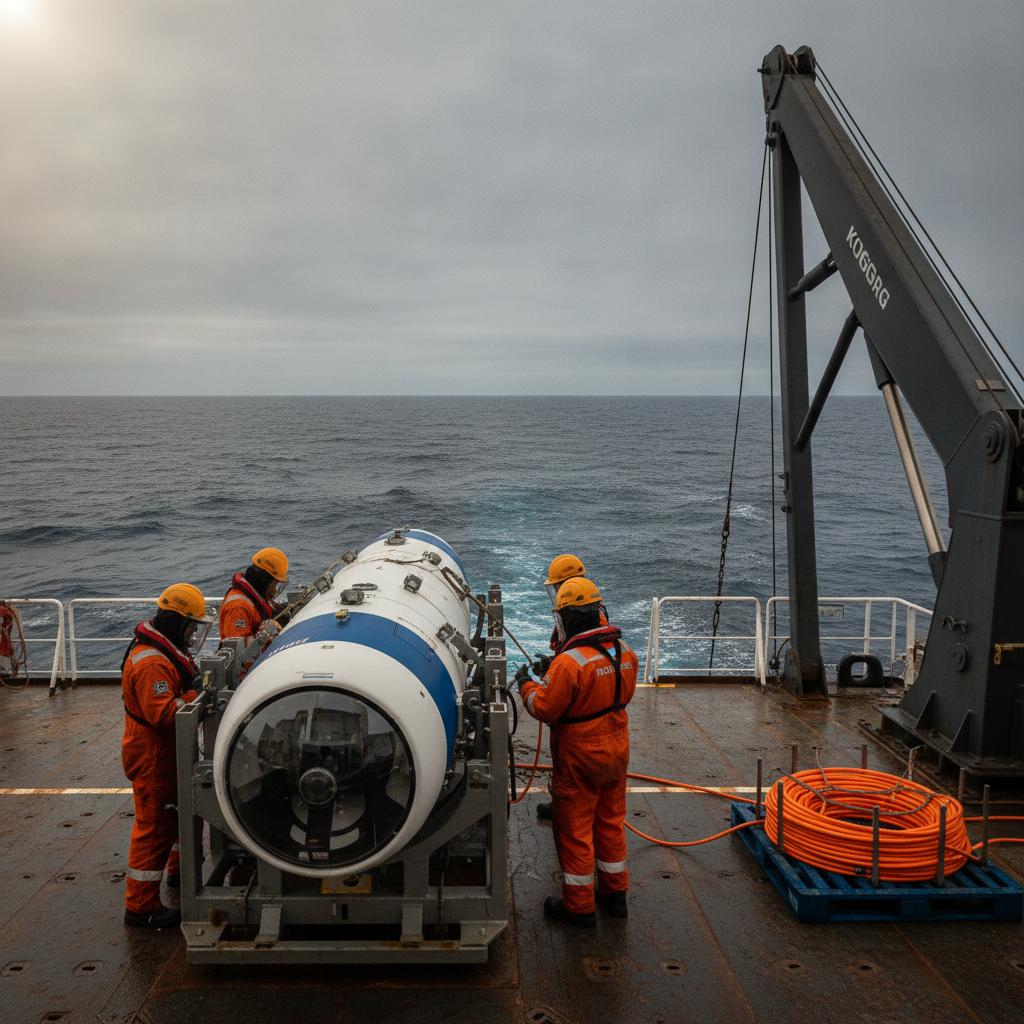
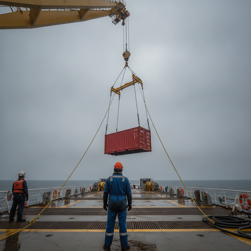
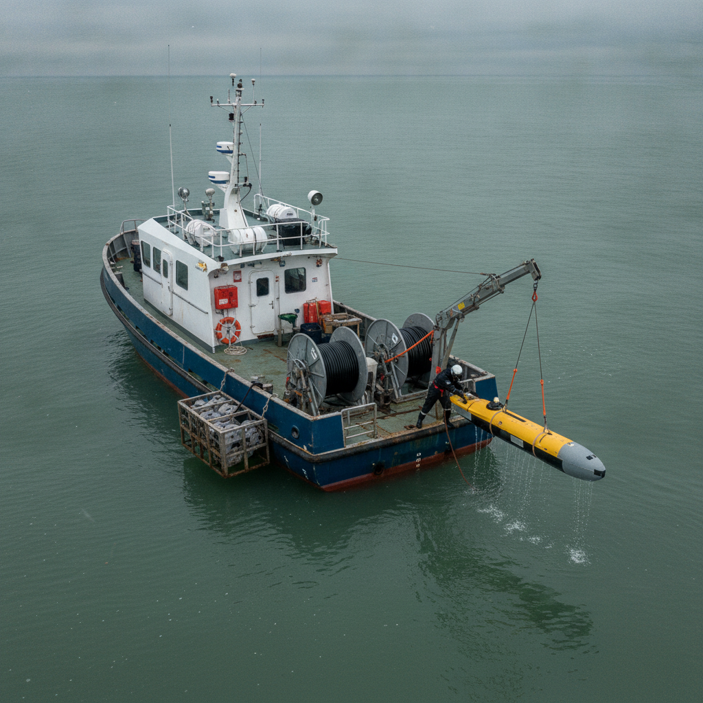
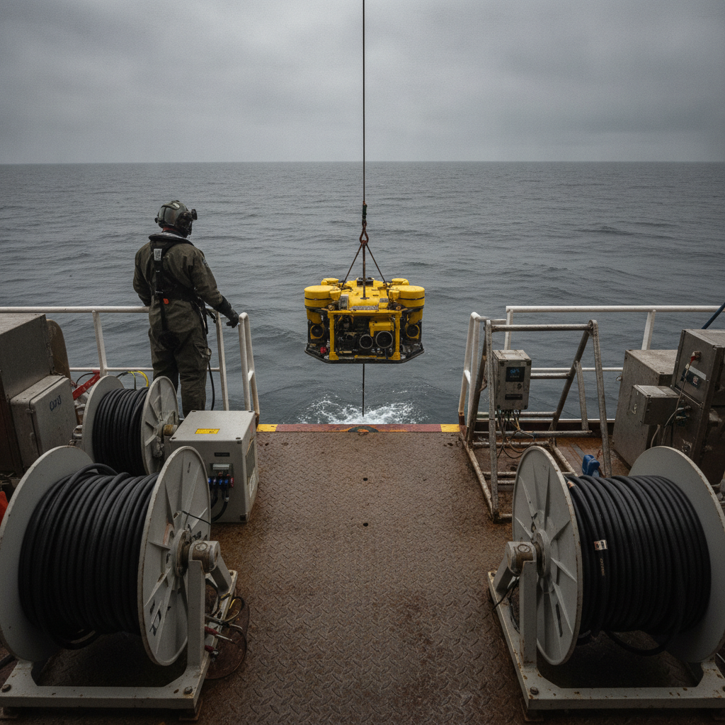
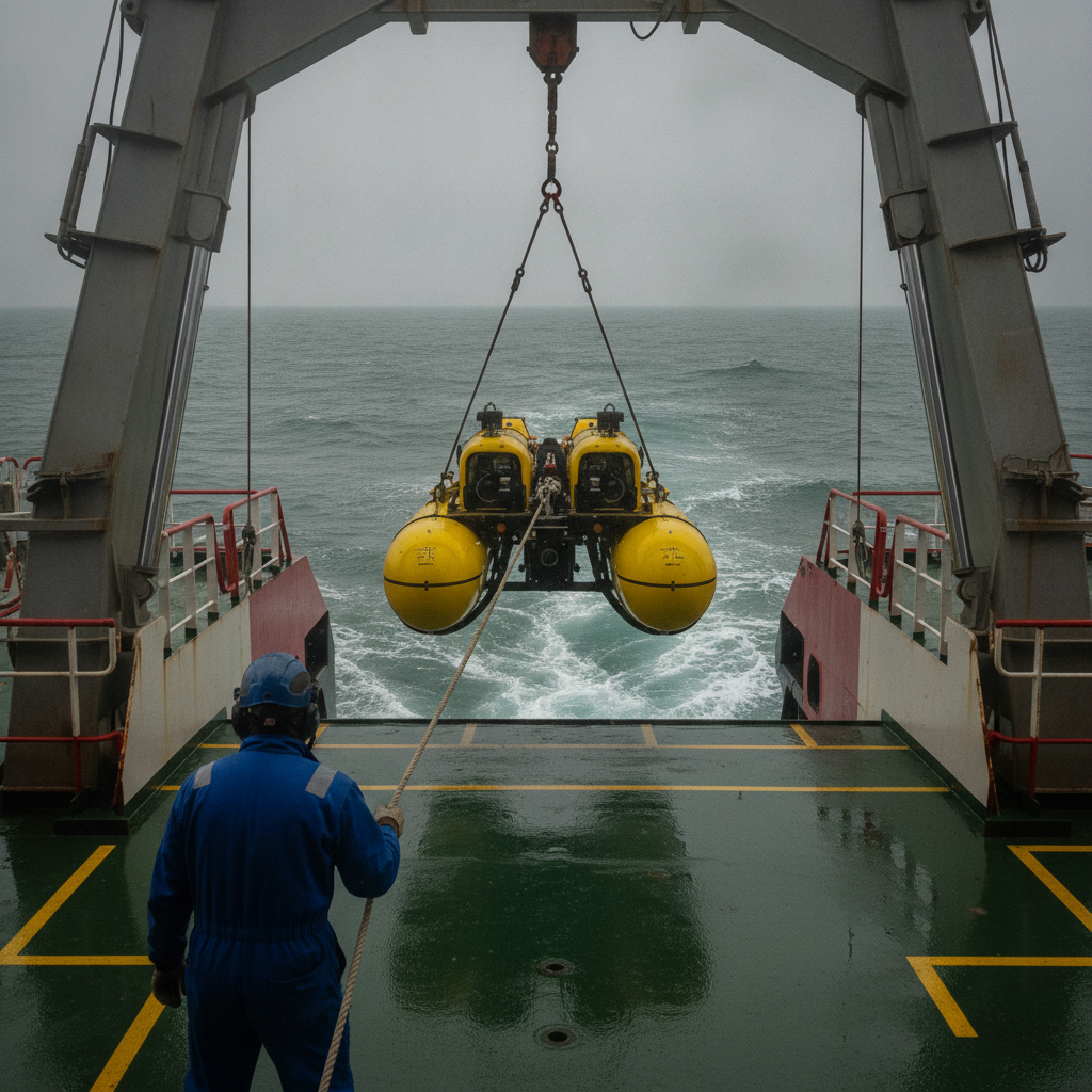
USV launch and recovery (LARS) reliability, not launch, sets the threshold for designing crewed vessel days out of an uncrewed survey campaign.
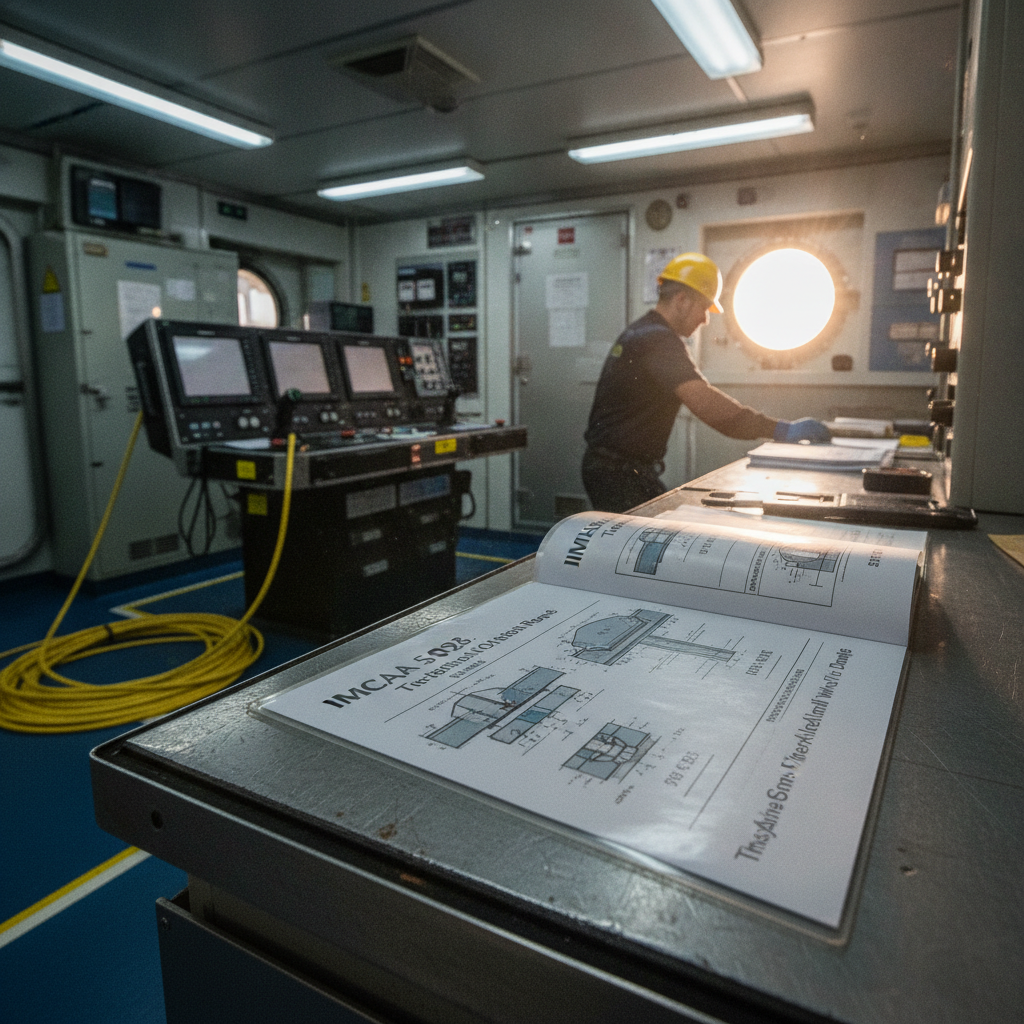
IMCA S 026 out-of-straightness survey guidance, unpacked: the checks, error budget, deliverables and QC it actually specifies for rigid subsea pipelines – and where it leaves the numbers to your project procedures.
Geoportal alternatives to Esri and ArcGIS, by archetype – open-source, commercial and cloud – and why the lock-in that bites is your data, not the licence.
Surveying free spans on subsea pipelines: almost any method gives the span length, but the gap beneath the pipe – the number VIV fatigue turns on – is the hard part.
Cellula and DRDC's 385-hour Envoy AUV run signals a shift. We analyse what changes in survey planning when your platform stays submerged for weeks.
The common operating picture in offshore crisis response runs on geomatics, not "a map layer" – and operators who overlook it carry a risk they cannot see.
Underwater 3D scanning is not NDT and sizes no crack. As a visualisation aid alongside NDT and UT, it adds a full-field view of a subsea weld repair – with honest limits.
TGS's Equatorial Guinea MegaSurvey hinges on reconciling decades of legacy positioning. We unpack the geodetic control behind a 'harmonised' regional dataset.
Two subsea contractors on a third party's vessel, each contracted only to the operator and to no one else aboard. The gap left by the missing contract between them – and the machinery that has to fill it before anyone gets in the water.
GNSS jamming and spoofing are now persistent in conflict zones from the Baltic to Hormuz. We analyse the failure mode and how offshore operators harden positioning.
GNSS-INS for subsea: how IMU grade, gyrocompassing and DVL/USBL aiding decide ROV and AUV positioning against IHO S-44 survey orders.
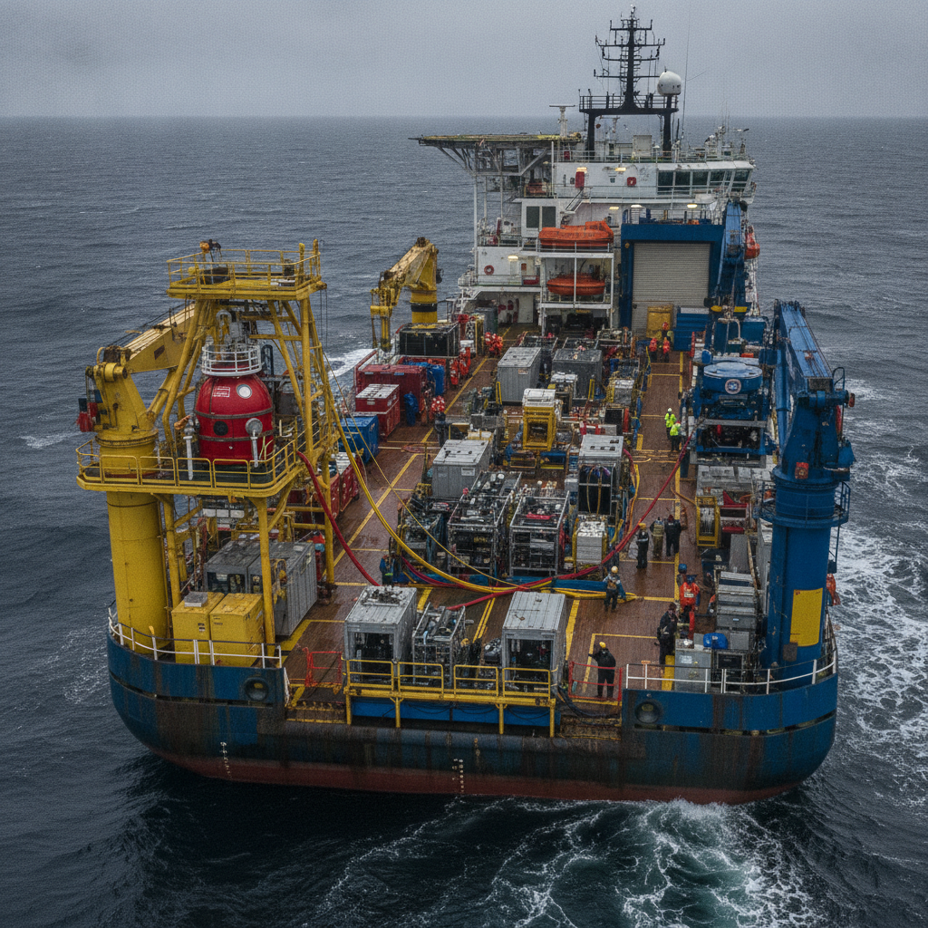
How operators qualify, contract and manage integrated subsea contractors: single-integrator vs multi-vendor, IMCA/IOGP gates and build-vs-buy for resident ROV.
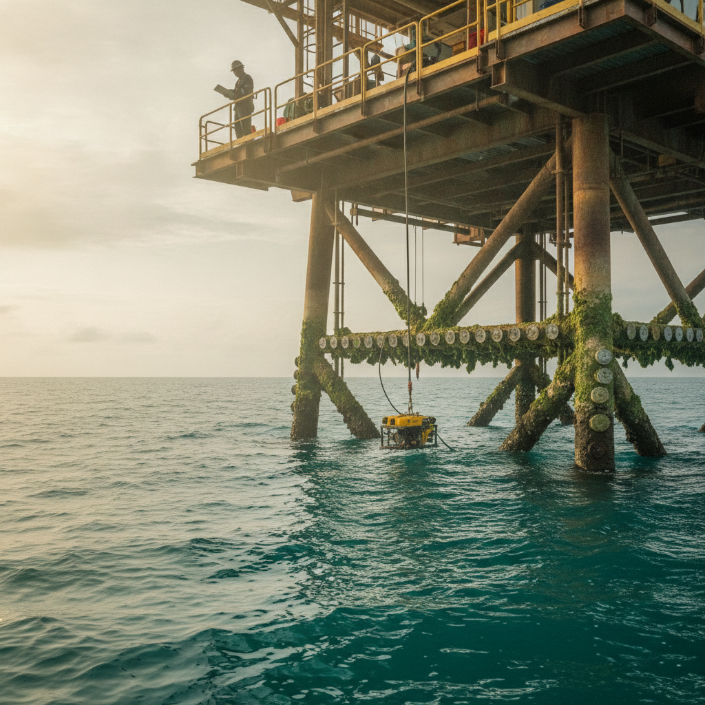
PXGEO and Equinor begin autonomous subsea inspection trials with Saab's Sabertooth drone. What operator readiness for intervention drones requires.
Space-based GNSS jamming creates a common-mode failure that DP integrity monitoring is not designed to catch. What it means for offshore positioning.
Industry Hormuz transit guidance flags GNSS jamming and spoofing. Practical positioning-integrity steps survey managers should verify before mobilisation.
Uncrewed hydrographic surveys raise IHO S-44 compliance and quality-control questions the IMO MASS Code does not yet answer for commercial work.
Van Oord's VO:X Barentsz ran a multi-day USV survey at an active wind farm. What the milestone reveals about endurance claims and oversight gaps.
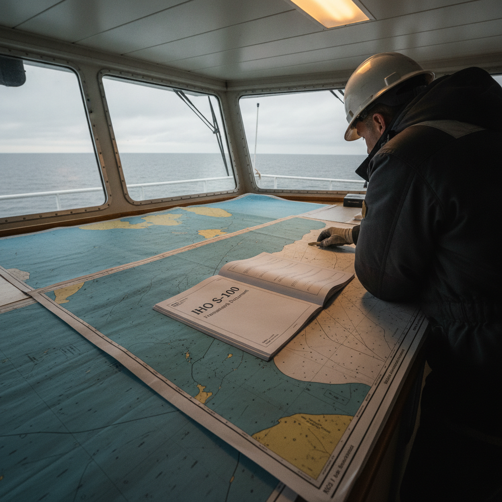
S-100 Phase 1 in force: dual-fuel transition, S-101/S-102 deliverables and tender impact for survey contractors.
GNSS interference has shifted from episodic to persistent across the Baltic, Strait of Hormuz and South Asia. What it means for offshore survey positioning.
NPL-Vodafone fibre timing trials reduce GNSS reliance onshore. We analyse what terrestrial timing means for offshore PNT resilience.
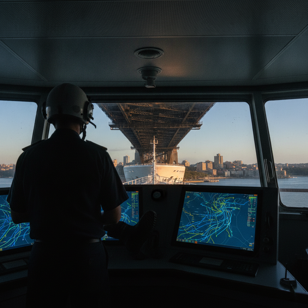
Australia's first live S-100 bridge trial puts S-104/S-111 tide and current data on Carnival ECDIS in Sydney Harbour. What it means for survey data clients.
IHO S-100 Phase 1 is live (Jan 2026): seven product specs released. What hydrographic survey contractors must change in data workflows now.
GNSS integrity monitoring goes big-data: ESA's RIGOUR project and what crowdsourced receivers mean for offshore positioning QA.
GeoAcoustics names Seafloor Systems its US channel partner – what channel deals mean for equipment access, training, and survey support.
Deep-sea mining EIA baseline monitoring with ADCPs: what ISA rules require for currents and sediment plumes, and where survey managers under-scope.
S-100 and S-101 give USV autonomy machine-readable hydrographic data, not just a chart format. What structured products change for autonomous survey work.
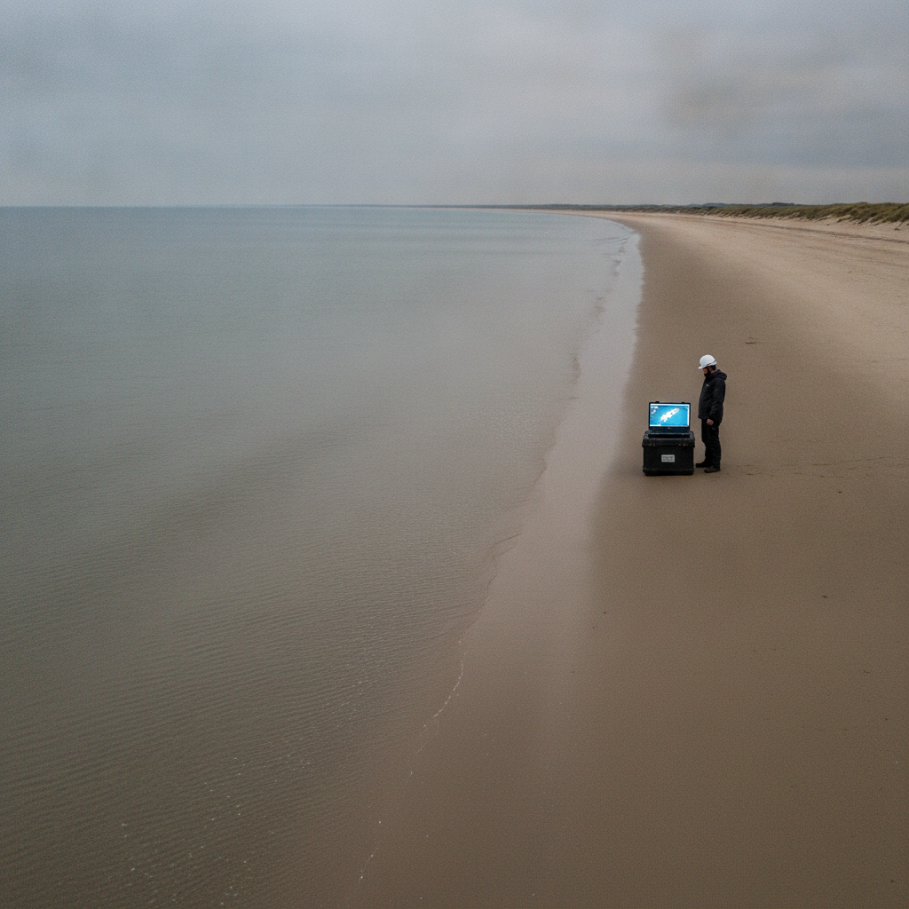
Shore-approach depth-of-burial surveys: why single-method pipeline DOB surveys fail across the beach, surf and nearshore transition zone.
How multi-sensor nearshore survey actually works: LINZ's three-year topobathymetric programme maps up to 40% of New Zealand's coast.
Brazil's first S-101 ENC at Suape begins its dual-fuel transition. What survey contractors in Brazilian waters should plan for in deliverables and QC.
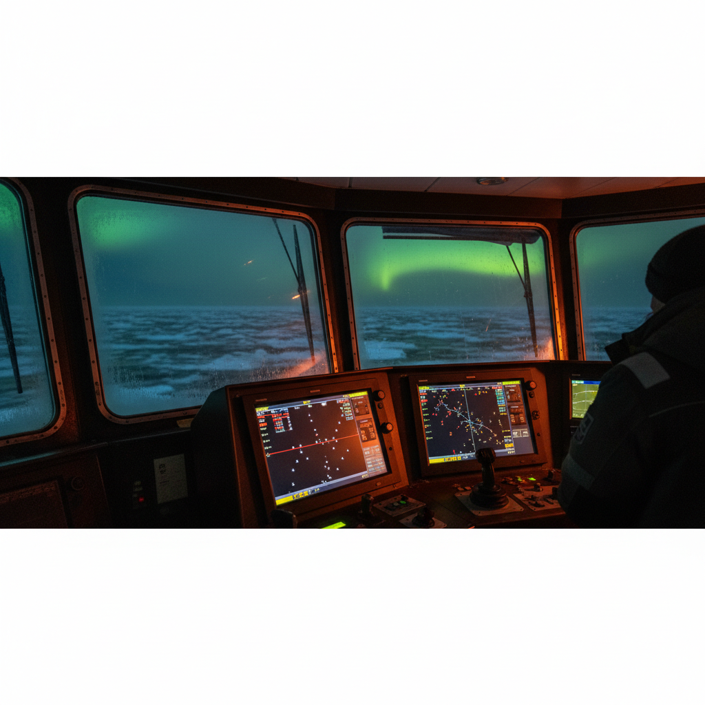
Arctic GNSS above 70°N fails on satellite geometry, ionospheric scintillation and INS drift. What DP, survey and subsea operators must specify instead.
Why icebreaker escort and ice forecasts fail non-ice-class vessels on the Northern Sea Route, and where operators consistently misjudge Arctic risk.
ASOG, IMCA M 220 and DP drift-off: why crews bypass the activity-specific guidelines they helped write, documented in IMCA DP event bulletins.
Separating platform subsidence from wellhead growth needs geodetic precision. Ekofisk learned it the hard way. How compaction shifts your survey datum.
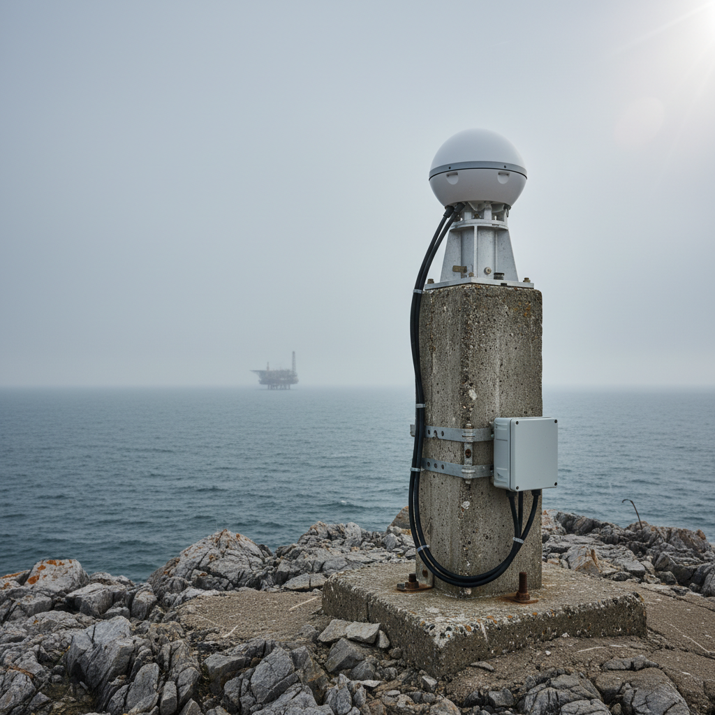
Offshore platform deformation monitoring: GNSS, levelling and seafloor transponders to separate subsidence, wellhead growth and structural movement.
GNSS jamming at Finnmarksløpet shows how fast satellite positioning fails. What it means for offshore survey and DP teams relying on GPS.
UK £180M National Timing Centre backs up GNSS timing on land. What it means for offshore positioning assurance, and why it does not remove GNSS redundancy.
IMCA D 002 on battery packs in pressure housings: thermal runaway, housing design, lithium-ion risk and emergency response for subsea systems.
Why operators install ROV and diving spreads on chartered PSVs instead of hiring dedicated subsea vessels – and the Bridging Document most get wrong.
Remote bathymetry economics: when uncrewed survey platforms beat crewed vessels on mobilisation, weather and accuracy trade-offs for basin-scale mapping.
Subsea electromagnetic sensing and positioning: Kongsberg's Listen upgrade moves EM from specialist add-on to core survey tool – and what QA must check.
IOGP SSDM Version 3 (Report 462) is in development for 2027. What the ArcGIS Pro and dynamic-CRS overhaul means for seabed survey data teams.