Executive Summary
The SSCS demonstration at Smart Sound Plymouth ran multiple AUVs and a USV together using seabed node positioning and surface USBL tracking. The vehicles are not the hard part; the acoustic channel budget, navigation drift, and data-trust chain decide whether a swarm delivers usable coverage. We set out the engineering trade-offs that govern multi-vehicle survey design and give testable acceptance criteria before you commit a campaign to autonomy.
On this page13 sections
- What Plymouth actually demonstrated
- The vehicles are not the constraint – the acoustic link is
- What decides coverage: drift, sound velocity, and the data-trust chain
- Navigation drift sets your fix interval
- Sound velocity is the quiet error source
- Data trust is a separate problem from position
- Where multi-vehicle programmes go wrong
- 1. Treating swarm size as a vehicle procurement question
- 2. Assuming absolute positioning lets you fit a cheaper INS
- 3. Underestimating the S-44 traceability burden
- 4. Confusing telemetry with quality control
- 5. No audit trail for autonomous decisions
- How to specify a multi-vehicle survey
What Plymouth actually demonstrated
The Smart Sound Connect Subsurface (SSCS) project ran a live, all-day demonstration at Smart Sound Plymouth in which platforms from ACUA Ocean, ecoSUB Robotics, Seaber and Sonardyne operated together above and below the surface. It was the first major test of a new underwater trial site, part of the three-year, £1.2 million SSCS project led by the University of Plymouth with Plymouth Marine Laboratory (PML) and delivered by Sonardyne. The infrastructure extends the existing testbed and the Western Channel Observatory with a seabed node array providing absolute positioning and communications, sitting alongside a military-encrypted surface network.
In our reading, two things in the demonstration matter for anyone planning multi-vehicle survey work. First, the University of Plymouth’s Seaber AUV and an ecoSUB AUV navigated at the same time using only the seabed node array, which provides positioning through passive Ultra-Short BaseLine (USBL) technology. Second, on the surface, ACUA Ocean’s Pioneer USV tracked and controlled an ecoSUB AUV using a Sonardyne Ranger 2 Gyro USBL system carried on the USV, while telemetry from the AUVs and a Sonardyne Origin 600 ADCP was relayed to the Pioneer and back to PML’s remote operations centre for live viewing.
So we have two positioning architectures running in the same water at the same time: vehicles fixing themselves against fixed seabed infrastructure, and a surface asset interrogating and steering a vehicle. That contrast, more than the hardware on show, is the decision we think matters most here.
The vehicles are not the constraint – the acoustic link is
The temptation, when a demonstration like this succeeds, is to read it as a story about better robots. We think that reading is wrong. Every platform involved is a known, capable vehicle. What SSCS actually proved out is a positioning and communications backbone, and in our view that backbone is where multi-vehicle survey economics are won or lost.
The governing physical fact is the finite, and comparatively slow, speed of sound in seawater. A conventional surface USBL shares a single acoustic channel across every vehicle it interrogates, because each interrogate-and-reply cycle must clear before the next can begin. Over a long depth-slant that round trip runs to a couple of seconds, and you cannot start the next interrogation until the last one has cleared. Put several vehicles on one surface USBL and they share that single acoustic channel. Position update rate per vehicle falls roughly as one over the number of vehicles being tracked. Coordinate a swarm this way and every additional AUV starves the others of fixes.
That, in our view, is why the seabed node array is the significant element. Passive, receive-only positioning turns the problem around. The nodes transmit at known locations and known times; each vehicle listens and computes its own position, in the way a GNSS receiver derives a fix from satellites it never talks to. Nothing the vehicle does consumes channel time from its neighbours. The architecture scales to as many vehicles as can hear the nodes, and it does so without any of them radiating a locating signal – which is also why it is attractive for defence work. The Pioneer-plus-Ranger 2 approach, by contrast, is the right tool when you need to actively command and supervise a single vehicle from a mobile surface platform rather than fix a fleet.
The decision in front of a survey manager is therefore not “which AUV” but “which positioning topology for the coverage I have to deliver”: mobile surface tracking of one or two vehicles, fixed seabed infrastructure serving many, or a hybrid where the USV is a communications and command relay rather than the primary position reference.
What decides coverage: drift, sound velocity, and the data-trust chain
Navigation drift sets your fix interval
Between acoustic fixes an AUV dead-reckons on its inertial navigation system aided by a Doppler velocity log. With good bottom-lock the aided INS holds well, but position error grows with distance travelled – commonly specified as a fraction of a percent of distance run, plus whatever the DVL contributes when it loses the bottom in a soft or steeply sloping seabed. Absolute positioning from the node array or surface USBL bounds that growth by resetting the solution. The engineering question we always come back to is how often you must reset to keep the along-track and across-track error inside your survey tolerance. That interval, not the raw accuracy of any single fix, drives line spacing, turn geometry and ultimately coverage rate.
Sound velocity is the quiet error source
Acoustic ranging is only as good as your sound velocity model. Ray bending through thermoclines and haloclines biases slant ranges, and a single surface sound-speed reading does not capture the profile. A characterised test site with a resident ADCP and CTD history – which is exactly what the Western Channel Observatory and the Origin 600 provide – lets you validate the positioning solution against a known truth field before you trust it offshore. On an uncharacterised site you carry that uncertainty into your uncertainty budget, and in our experience it is rarely small.
Data trust is a separate problem from position
Knowing where the vehicle was is necessary but not sufficient. The survey deliverable has to be defensible against a standard. For hydrography that means IHO S-44 Edition 6, with an explicit total horizontal and total vertical uncertainty budget tied to the survey order, and full seafloor search where the order demands it. Autonomy does not relax any of this. If anything it tightens the requirement, because there is no surveyor watching the sounder in real time to catch a bad patch. The positioning uncertainty from the USBL or node solution feeds directly into the S-44 THU budget, and it must be logged per ping, not assumed.
The acoustic comms link compounds the problem. Underwater modem throughput is measured in hundreds of bits to low kilobits per second, not megabits. You cannot stream a full multibeam or sidescan payload home in real time. What comes back through the relay is status, tracking and decimated telemetry – enough to supervise, not enough to fully QC. The full dataset is recovered on turnaround. This is the gap behind the language used at Plymouth about turning field-tested prototypes into trusted data streams: as we see it, trust has to be engineered into the edge processing and the acceptance logic, because the shore cannot see everything as it happens.
Where multi-vehicle programmes go wrong
1. Treating swarm size as a vehicle procurement question
Buyers add vehicles expecting linear gains in coverage and are surprised when tracking degrades. The limit is the acoustic channel, not the fleet. If your positioning topology is a single surface USBL, a third and fourth vehicle can make the whole operation worse by collapsing per-vehicle update rate below what the navigation drift can tolerate. Decide the positioning architecture first, then size the fleet to what it can actually serve.
2. Assuming absolute positioning lets you fit a cheaper INS
Absolute fixes bound drift; they do not eliminate the need for a good inertial and DVL solution between fixes. In current, near infrastructure, or over acoustically difficult seabed, fixes get dropped or degraded, and the vehicle is on dead-reckoning for longer than planned. The INS/DVL quality determines how graceful that degradation is. Under-specifying it to save cost shows up, in our experience, as gaps and reruns.
3. Underestimating the S-44 traceability burden
A swarm can generate enormous coverage quickly, but every square metre still has to be attributable to a positioning and uncertainty record that survives client and hydrographic-office scrutiny. Teams that bolt uncertainty accounting on afterwards discover that their per-vehicle logs do not reconcile, or that sound-velocity assumptions were never captured. The uncertainty budget must be defined before mobilisation and logged continuously.
4. Confusing telemetry with quality control
Seeing live tracks and health data in a remote operations centre feels like supervision. It is not the same as knowing the data meets specification. Coverage overlap, DVL bottom-lock percentage, altitude within the sonar’s design window, and line-keeping all have to be assessed against thresholds – ideally on the vehicle, because the comms link cannot carry the raw data ashore in time to intervene.
5. No audit trail for autonomous decisions
When a vehicle decides to abort a line, avoid an obstacle, or reacquire position, that decision needs to be logged with the evidence behind it. Without an integrity-decision audit trail you cannot defend the deliverable, investigate an anomaly, or improve the mission logic. We see this routinely left until after the first incident, which is the worst time to design it.
How to specify a multi-vehicle survey
Fix the positioning topology before the fleet. Decide explicitly between mobile surface USBL tracking, fixed seabed node positioning, and a relay-plus-node hybrid. For anything beyond two supervised vehicles, we favour a receive-only node architecture so that fleet size is not throttled by the acoustic channel. Reserve active surface USBL for the cases where you must directly command a vehicle.
Compute the per-vehicle fix interval against the drift spec. Take the aided INS/DVL drift figure, your survey tolerance, and the achievable update rate for the chosen topology, and confirm that positioning is reset before error exceeds tolerance. If the numbers do not close, the answer is more infrastructure or fewer vehicles, not optimism.
Build the uncertainty budget to IHO S-44 Edition 6 from the outset. Include USBL slant-range error as a percentage of range, sound-velocity uncertainty, INS/DVL contribution and time-tagging error. Require per-ping logging of positioning uncertainty, not a single site-wide figure applied retrospectively.
Validate in a characterised environment before offshore mobilisation. A resident-truth site – the model SSCS provides – lets you close the loop on positioning and sensor performance against known references. We treat this as an acceptance gate, and run it the way IMCA subsea positioning guidance would have you verify any acoustic reference before relying on it operationally.
Push quality control to the edge. Define onboard acceptance thresholds for coverage overlap, bottom-lock, altitude window and line-keeping so a vehicle can flag or rerun without waiting for shore. Reserve the comms link for status and decisions, and recover full-rate data on turnaround for definitive QC.
Log every autonomous decision with its evidence. Timestamp, position source, sensor state and the rule that fired. This is your defence of the deliverable and the basis for improving mission logic between campaigns.
Do not neglect surface-vessel compliance. A USV acting as tracker and relay is a Maritime Autonomous Surface Ship. Confirm the operation against the IMO MASS Code as it develops and the relevant national workboat and autonomous-vessel regulation before you plan any transit or shared-water operation.
We rate the Plymouth demonstration as a useful marker because it exercised the part that usually fails quietly – coordinated positioning and communication across surface and subsea vehicles – rather than the part that photographs well. The lesson for buyers, in our experience, is the same one that governs every subsea positioning job: specify the reference architecture and its uncertainty first, and the vehicles will follow.
Based on: Multi-robot field trial inaugurates Plymouth’s new subsea test facility
Published by
Hydrographic Methods Committee
Bathymetry, Multibeam & Seabed Mapping
An independent review committee focused on hydrographic survey methodology, IHO standards interpretation, and seabed mapping best practices for offshore and coastal projects.
Read next
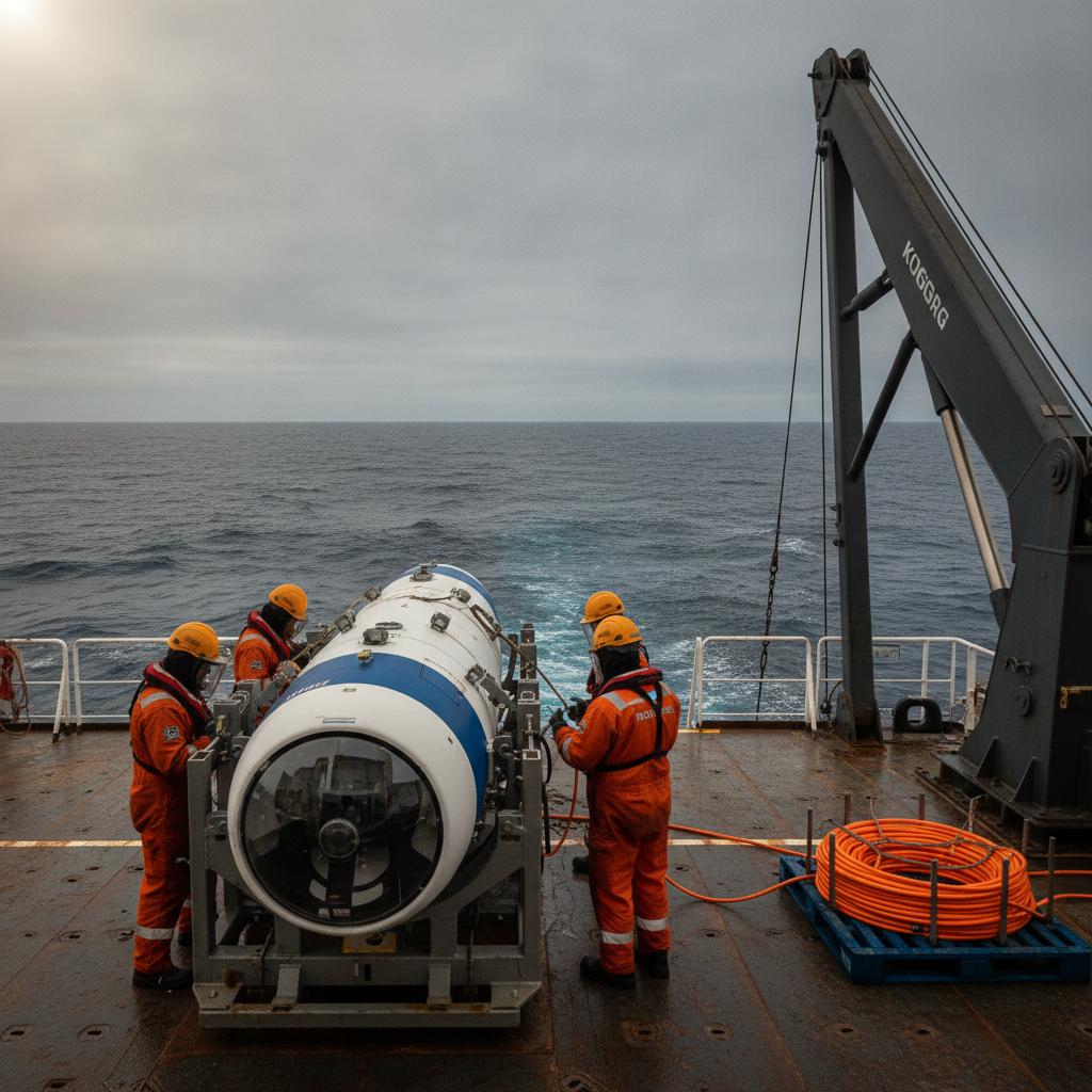
Finding a wreck at 610m: what a first-pass AUV hit teaches offshore search
A HUGIN AUV located a Pan Am DC-4 at 610m off Puerto Rico on its first pass. We unpack what that means for scoping deep-water search-and-survey work.
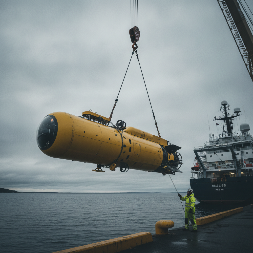
Buy the AUV or the capability? The HUGIN Superior question
Norway's HUGIN Superior brings deep-sea AUV mapping in-house. We unpack the navigation, bathymetry and assurance decisions owners face at 6,000 m and high latitude.
Freelance competence validation – what are the choices?
How does someone in the large freelance market for offshore survey demonstrate competence. Are CVs enough still, and are CVs even believable?
Offshore Geomatics Foundation Certificate · October 2026
Turn reading into certified competence
Decisions like this one are easier to defend when the fundamentals behind them are certified, not assumed.
Early-access list gets 40% off at launch. No spam – the waitlist is only ever used for the certificate. What the certificate covers →