Executive Summary
GNSS jamming and spoofing attributed to Russian electronic warfare from the Kola Peninsula degraded GPS tracking at Finnmarksløpet, Europe's longest sled dog race, forcing organisers to lean on trail markers and traditional navigation. The 1,200-kilometre route across northern Norway – part of it along the Pasvik River border with Russia – became a visible demonstration of GNSS vulnerability in the High North. For offshore survey managers, the lesson is concrete: satellite positioning in contested or interference-prone regions cannot be treated as guaranteed infrastructure. We examine what this means for construction survey, as-built verification, and dynamic positioning where GNSS underpins the positioning solution.
On this page11 sections
- What happened
- Why this matters
- The reality on deck
- Where plans get it wrong
- 1. Treating GNSS denial as equipment failure
- 2. Assuming interference is transient
- 3. Ignoring geographic risk patterns
- 4. Over-relying on multi-constellation receivers
- What survey managers should actually do
- The bigger question: resilience or redundancy?
- What this means for your next Barents Sea job
What happened
GNSS interference attributed to Russian electronic warfare from the Kola Peninsula degraded GPS tracking during Finnmarksløpet, the 1,200-kilometre sled dog race in northern Norway. Each team carries a GPS tracking device, and the disturbance produced frozen, jumping, or incorrect positions on the public tracking map. Tarjei Sirma-Tellefsen, Chief of Staff at Finnmark Police District, confirmed the force was in “good dialogue” with the race over participant safety but acknowledged GNSS disturbances in the area. Organisers leaned more heavily on trail marking, and participants were encouraged to carry map and compass as backup. Managing Director Svanhild Pedersen described the disturbances as “external factors beyond our control.”
The race starts in Alta and runs across the Finnmark plateau toward Kirkenes in the far northeast, near the Russian border. Part of the route follows the western shore of the Pasvik River, which separates Norway from Russia. That places the teams inside a region that has seen repeated interference: Norwegian and Finnish authorities have reported Russian electronic warfare affecting civilian activity in northern Norway and Finland since 2017. This is not an isolated event. Aviation in northeastern Norway reports GNSS interference frequently, and Finland and Estonia have raised the alarm over persistent disruption in the Gulf of Finland attributed to Russian sources near Kaliningrad and St. Petersburg. The race became a public, legible example of what aviation and maritime operators already know: satellite positioning in the High North and the Baltic cannot be assumed reliable.
Why this matters
Most maritime positioning systems treat GNSS the way they treat electricity – it simply has to be there. Plans guard against equipment failure, not signal loss. A dynamic positioning system is often considered safe with three GNSS receivers. Survey instruments assume DGNSS or PPP will deliver decimetre-level accuracy, conditions permitting. And when a risk assessment lists “satellite positioning failure,” it is frequently treated as a short nuisance rather than a mission-threatening condition.
Finnmarksløpet inverts that assumption. For days, GNSS behaved as unreliable infrastructure, and the response was to fall back on physical markers and traditional navigation. That works for a dog team moving at sled speed. It does not work for a pipelay vessel holding station against current, or a construction pontoon set over a template in deep water. The race exposes a recurring planning gap in offshore work: GNSS risk is assessed against satellite geometry, atmospheric conditions, and equipment specifications, without asking the prior question – will there be a usable signal at all? Norwegian authorities have characterised GNSS problems in eastern Finnmark as a “new normal” and have stressed the need for long-term planning. Few offshore positioning plans account for a sustained signal outage measured in days rather than minutes.
The reality on deck
Consider an illustrative survey scenario. A vessel is running as-built survey in the Barents Sea, well offshore. It carries six GNSS receivers – two for dynamic positioning, two for survey positioning, two for RTK corrections – on a dual-frequency, multi-constellation setup (GPS, GLONASS, Galileo, BeiDou). The FMEA lists GNSS as redundant, with inertial and acoustic backups for emergencies.
Then all six receivers degrade at once, because they are all receiving the same compromised signal environment. The inertial measurement unit can bridge position for a limited window before drift exceeds survey tolerance. The acoustic sensor still resolves the ROV’s position relative to the vessel – but the vessel’s own absolute position has become uncertain. This is not a hardware failure; it is interference originating well away from the worksite. The fallback wording common in positioning plans – “continue with alternative systems until GNSS is restored” – assumes recovery in minutes or hours. At Finnmarksløpet the disturbance persisted for days across a wide area, and aviation in eastern Finnmark reports interference daily. At what point does “waiting for restoration” become “this is not coming back on our timescale”?
For two decades, maritime positioning has been optimised around GNSS. DGNSS baselines have been extended, acoustic network density has been reduced, and DP footprints have tightened because satellite positioning offered an attractive combination of low cost, accuracy, and availability. When GNSS fails in a contested area, that optimisation becomes a single point of failure rather than an advantage.
Where plans get it wrong
1. Treating GNSS denial as equipment failure
A common pattern equates “GNSS loss” with “receiver failure” or “antenna damage,” and the reflex is to switch to a backup receiver. That helps when one receiver fails. It does nothing when the signal itself is jammed or spoofed, because the interference affects every receiver listening to the same band. Six receivers or three, the redundancy is only apparent. Yet GNSS is routinely listed as redundant in FMEA on the basis of receiver count alone, ignoring common-mode signal failure.
2. Assuming interference is transient
Emergency plans often treat GNSS outages as temporary – solar activity, satellite anomalies, a passing local disturbance – and recommend “wait with backup options” or “pause until conditions normalise.” That may suffice for short, incidental disruption. It does not hold for persistent, deliberate interference over a wide area. The eastern Finnmark situation is characterised by authorities as predictable and ongoing, and operators there treat ground-based and inertial navigation as primary tools, not backups. Plans calibrated for short disruptions reach their limits quickly under those conditions.
3. Ignoring geographic risk patterns
Finnmarksløpet runs through a known problem area. Interference in the region has been reported since 2017, documented by outlets such as the Barents Observer and confirmed by local police. Yet survey plans are still proposed for the Barents Sea on the basis of satellite geometry and atmospheric models alone, with no account of electronic warfare or the regional history of interference. The Kola Peninsula hosts substantial military activity; GNSS outages recur in the Baltic and disrupt shipping in the Gulf of Finland; similar disruption has been reported in the eastern Mediterranean. Operating in these areas without weighing the interference history is optimism standing in for risk management.
4. Over-relying on multi-constellation receivers
Modern receivers track GPS, GLONASS, Galileo, and BeiDou, and that diversity is treated as protection: if GPS is interfered with, GLONASS or Galileo will carry the solution. In practice, broadband jamming degrades all GNSS bands at once, and spoofing can inject false signals across multiple constellations simultaneously. Multi-constellation reception improves accuracy and availability under benign conditions; it does not, by itself, defend against deliberate interference. Under jamming or spoofing, more tracked satellites can mean more corrupted observations, not a cleaner solution.
What survey managers should actually do
Before committing to operations in the Barents Sea, Norwegian waters, or the Baltic, run a geographic interference risk analysis. What is the documented history in the area? Review GNSS advisories issued by aviation and maritime authorities and the coast guard. If pilots in the region are already switching to inertial navigation because GNSS is unstable, fitting more GNSS receivers does not address the exposure.
Then ask the hard operational questions. Can the operation hold its minimum positioning accuracy without GNSS at all? If the fallback is inertial, for how long can it hold accuracy before drift exceeds tolerance? As a rough order of magnitude, a survey-grade strapdown INS aided only by a Doppler velocity log can typically hold metre-class position for several minutes to tens of minutes of free inertial running, while an unaided tactical-grade IMU holds decimetre-class position for only tens of seconds to a few minutes before drift dominates – figures that depend heavily on sensor grade, aiding, and dynamics, and that should be measured for the specific spread rather than assumed. Those numbers are the bridging-time budget: if the documented outage in the area can outlast the budget, GNSS-independent positioning is not a backup but a primary requirement. Is there an independent acoustic network on the seabed, and is it dense enough to provide an absolute reference? Here the distinction matters. A USBL fix referenced to a drifting vessel only resolves the ROV relative to that vessel; it does not recover absolute position once the vessel’s own GNSS fix is gone. A seabed-fixed LBL array, by contrast, is referenced to surveyed coordinates on the bottom, so it delivers an absolute reference that is independent of the surface – which is why it, and not vessel-relative acoustics, qualifies as a GNSS-independent absolute positioning method. Are non-satellite options available – rangefinders, microwave or laser positioning? These questions should be answered before the receivers fail simultaneously, not after.
Some operations cannot be performed without GNSS. Pipelay needs continuous decimetre positioning over long distances; as-built demands precise, repeatable coordinates referenced to the same geodetic frame. Relying on GNSS alone in a known interference area is not risk management. Clients and regulators should be pressed to assess the exposure realistically. Current survey-accuracy and positioning-reliability standards say little about sustained, area-wide signal denial. They are built around accuracy and uncertainty budgets and around equipment-level redundancy – IHO S-44, for instance, is a survey-accuracy standard defined through total propagated uncertainty and survey orders, agnostic to whether positioning comes from satellites or any other method – rather than around the scenario of a usable signal being absent for days across a wide area. The operating reality in contested regions sits outside that framing, so it has to be addressed explicitly in the project positioning plan rather than assumed to be covered by standard practice.
The bigger question: resilience or redundancy?
For three decades the offshore industry has invested in GNSS redundancy: receiver arrays, multiple frequencies, multiple constellations. That answers equipment failure. Finnmarksløpet shows the harder problem is dependence on a single class of infrastructure. More receivers add nothing once the signal itself drops.
Resilience means keeping the operation viable through a drastic change in the environment, which requires diversifying the positioning methods themselves – combining GNSS with inertial, acoustic, and ranging systems – and identifying geographic risk early enough to accept the hard truth that some operations are not feasible without GNSS. The sled race fell back on trail markers and traditional navigation. The offshore equivalents are dense acoustic networks, independent ranging, and laser or microwave positioning. They cost more and run slower, but they let the job continue when satellites cannot be trusted. The alternative is the Finnmarksløpet outcome at sea: a tracking picture showing false positions, and an operation on hold because the entire plan assumed consistently reliable satellites. That is a planning failure, not only a technical one.
What this means for your next Barents Sea job
If you are preparing for operations in GNSS problem areas such as the Barents Sea or the Norwegian Sea near the Kola Peninsula, the positioning plan should be designed around the possibility of a prolonged outage. That means: identifying satellite-independent positioning options; estimating how long inertial systems can hold geodetic accuracy; planning acoustic network geometry for independent positioning; defining the points at which continued operation becomes unsafe or unverifiable; and budgeting for extended operation on backup systems.
The alternative is to assume GNSS will simply work. Years of disruption in the Baltic and the visible example of Finnmarksløpet argue plainly that it will not, everywhere, all the time. The question for survey managers is whether we harden our planning before an unprepared crew is caught out during a critical operation – or keep assuming GNSS is reliable everywhere. The harder task is getting clients, and their plans, to accept the same.
Based on: GNSS jamming spills over into Europe’s longest sled dog race
Published by
Positioning & Geodesy Working Group
GNSS, INS/IMU & Coordinate Systems
A working group of positioning specialists covering GNSS, inertial navigation, datum transformations, and geodetic network design for marine and land survey operations.
Read next

GNSS interference is now persistent: what offshore survey must do next
GNSS interference has shifted from episodic to persistent across the Baltic, Strait of Hormuz and South Asia. What it means for offshore survey positioning.

Conflict-zone GNSS interference: offshore positioning resilience for 2026
GNSS jamming and spoofing are now persistent in conflict zones from the Baltic to Hormuz. We analyse the failure mode and how offshore operators harden positioning.
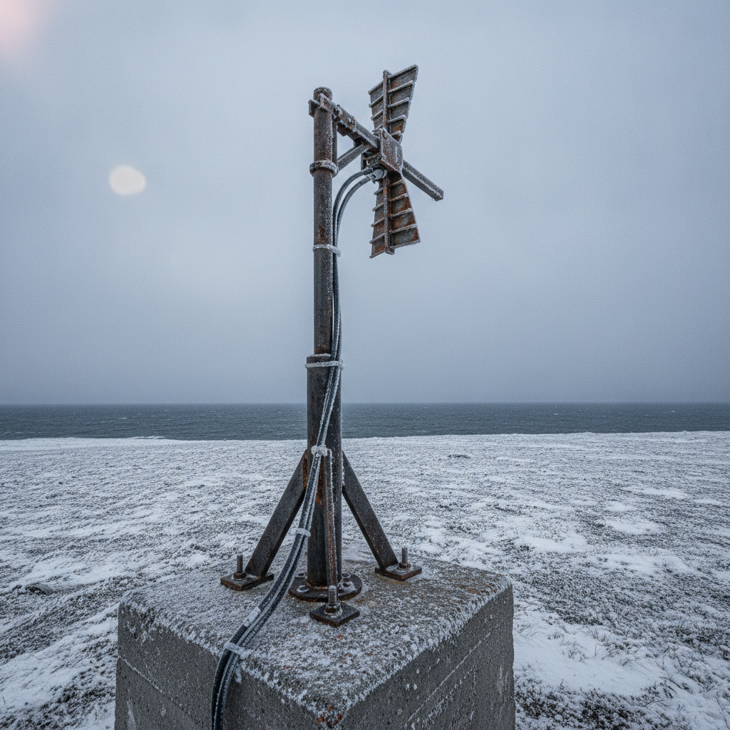
Contested signals: GNSS reliability in Arctic offshore work
Norway's expanding GNSS monitoring network exposes a positioning failure mode offshore teams must design around: jamming and spoofing in a contested spectrum.
Offshore Geomatics Foundation Certificate · October 2026
Turn reading into certified competence
Most of the failures we analyse trace back to fundamentals nobody verified. The Foundation Certificate is a structured way to close exactly those gaps.
Early-access list gets 40% off at launch. No spam – the waitlist is only ever used for the certificate. What the certificate covers →