Executive Summary
The decline of dedicated hydrographic and land survey schools over the last two years represents a critical vulnerability for the global geospatial and offshore energy sectors. Historically, specialised institutions provided the foundational theory and practical sea-time or field exercises necessary to produce competent surveyors. Economic shifts, changing academic priorities, and rapid technological transitions have led to a noticeable contraction in these specialised programs globally. This reduction creates immediate and long-term competence threats across the industry. Addressing this crisis requires a coordinated re-evaluation of how core competencies are maintained and how emerging training methodologies can enhance existing gaps.
On this page5 sections
The Contraction of Specialised Survey Education
Over the past 24 months, the educational landscape for land and offshore surveying has contracted significantly. Universities and technical colleges face intensifying budgetary pressures, leading many to consolidate niche engineering departments into broader civil engineering or general geomatics streams. Dedicated hydrographic surveying degrees that often require expensive vessel operations, specialised sensor suites, and high maintenance overheads have been disproportionately affected. Institutions have found it increasingly difficult to justify the high per-student cost of running these programs when compared to lower-overhead disciplines like data science or software engineering. Simultaneously, the industry has experienced a rapid shift toward automation, remote operations, and uncrewed surface vessels (USVs). Academic institutions have struggled to update their curricula at the speed of commercial technological adoption. This lag has led to a perception among prospective students that traditional surveying degrees are outdated, causing enrolment numbers to dwindle. As student pipelines dry up, universities face a clear economic rationale to discontinue specialised survey tracks entirely, leading to a stark reduction in the number of qualified graduates entering the market.
General Competence Threats Stemming from the Decline
The closure and consolidation of survey schools introduce severe competence threats to both land-bound construction projects and offshore marine operations. The foremost threat is the erosion of fundamental geodetic knowledge. Modern surveying relies heavily on “black-box” software and automated positioning systems. Without rigorous academic grounding, new industry entrants frequently lack a deep understanding of datums, map projections, coordinate transformation mechanics, and error propagation. When automated systems operate nominally, this knowledge gap remains hidden. However, when anomalies occur, operators lacking foundational training struggle to identify systematic errors, risking catastrophic compounding positioning failures. Furthermore, the reduction in formal schooling severely limits supervised field exposure. In offshore hydrography, understanding environmental variables, such as sound velocity profiles, tidal regimes, and vessel motion dynamics a requires practical, hands-on exposure that short-term corporate certification courses cannot replicate. In land surveying, the lack of formal education leads to deficiencies in legal boundary determination and data verification protocols. The industry risks breeding a generation of “button-pushers” who can operate hardware but cannot critically evaluate data quality or troubleshoot sensor misalignment, ultimately compromising the safety and integrity of engineering projects.
Frameworks for Maintaining Industry Competencies
To prevent a systemic collapse in data quality and operational safety, the industry must establish robust frameworks to maintain competencies outside the traditional university ecosystem. Work-based learning pathways and structured apprenticeships must become the primary vehicles for foundational training. Companies can no longer rely solely on universities to deliver job-ready candidates; instead, they must invest in internal academies that blend theoretical modules with structured field mentorship. International standards bodies, such as the International Hydrographic Organization (IHO), the International Federation of Surveyors (FIG), and the International Marine Contractors Association (IMCA), must play a more active role in decentralising certification. By expanding modular certification pathways, professionals can achieve recognized competencies (such as Category A or Category B hydrographic surveyor status) through a combination of verified field experience, targeted short courses, and rigorous practical examinations. This modular approach allows working professionals to upscale their qualifications incrementally without requiring a multi-year exit from the workforce to attend a traditional school.
Strategies to Enhance and Close Competence Gaps
Closing the current competence gaps demands an innovative approach to training delivery that leverages modern technology to compensate for the lack of physical brick-and-mortar schools.
- Advanced Simulation and Virtual Reality (VR): While simulator training cannot fully replace real sea-time or field operations, high-fidelity digital twins of survey vessels and sensor interfaces can accelerate the learning curve. Trainees can practice sensor calibration, multi-beam echo sounder tuning, and fault finding in a risk-free, controlled environment, maximising the value of limited physical field hours.
- Remote Operations Centre (ROCs) as Training Hubs: The industry’s shift toward remote surveying presents a unique pedagogical opportunity. Junior surveyors working within an onshore ROC can monitor real-time data collection under the direct, continuous supervision of senior subject matter experts. This centralised oversight accelerates knowledge transfer and allows experienced surveyors to mentor multiple trainees simultaneously, bypassing the physical space constraints of offshore vessels.
- Cross-Disciplinary Upskilling: Industry stakeholders should actively recruit from adjacent fields with high computational literacy, such as marine biology, geophysics, oceanography, and computer science. By creating targeted, accelerated bridge programs, organisations can teach foundational geodesy and survey-specific methodologies to individuals who already possess strong analytical and data-management capabilities.
- Public-Private Educational Alliances: Survey equipment manufacturers, private survey contractors, and remaining educational institutions must form tighter consortia. Manufacturers can provide cutting-edge hardware and cloud-processing software to training centres at subsidised rates, ensuring that the remaining educational pathways reflect current commercial realities rather than obsolete methodologies.
Conclusion
The reduction in dedicated land and offshore survey schools over the last two years is an undeniable reality that threatens the foundational safety and precision of global positioning workflows. The transition from comprehensive academic education to fragmented, technology-centric training risks creating an acute shortage of professionals capable of understanding and verifying complex geospatial data. However, this crisis also serves as a catalyst for evolution. By embracing modular international certifications, utilising advanced simulation, exploiting remote operational frameworks, and building aggressive public-private training alliances, the surveying industry can successfully bridge the competence gap. The responsibility for cultivating the next generation of expert surveyors has decisively shifted from the university lecture hall to the commercial sector, demanding immediate, strategic investment from industry leaders worldwide.
Published by
Theo Dolite
Expert Hydrographer
35 years in offshore survey. Graduate onboard to managing large teams of professionals
Read next
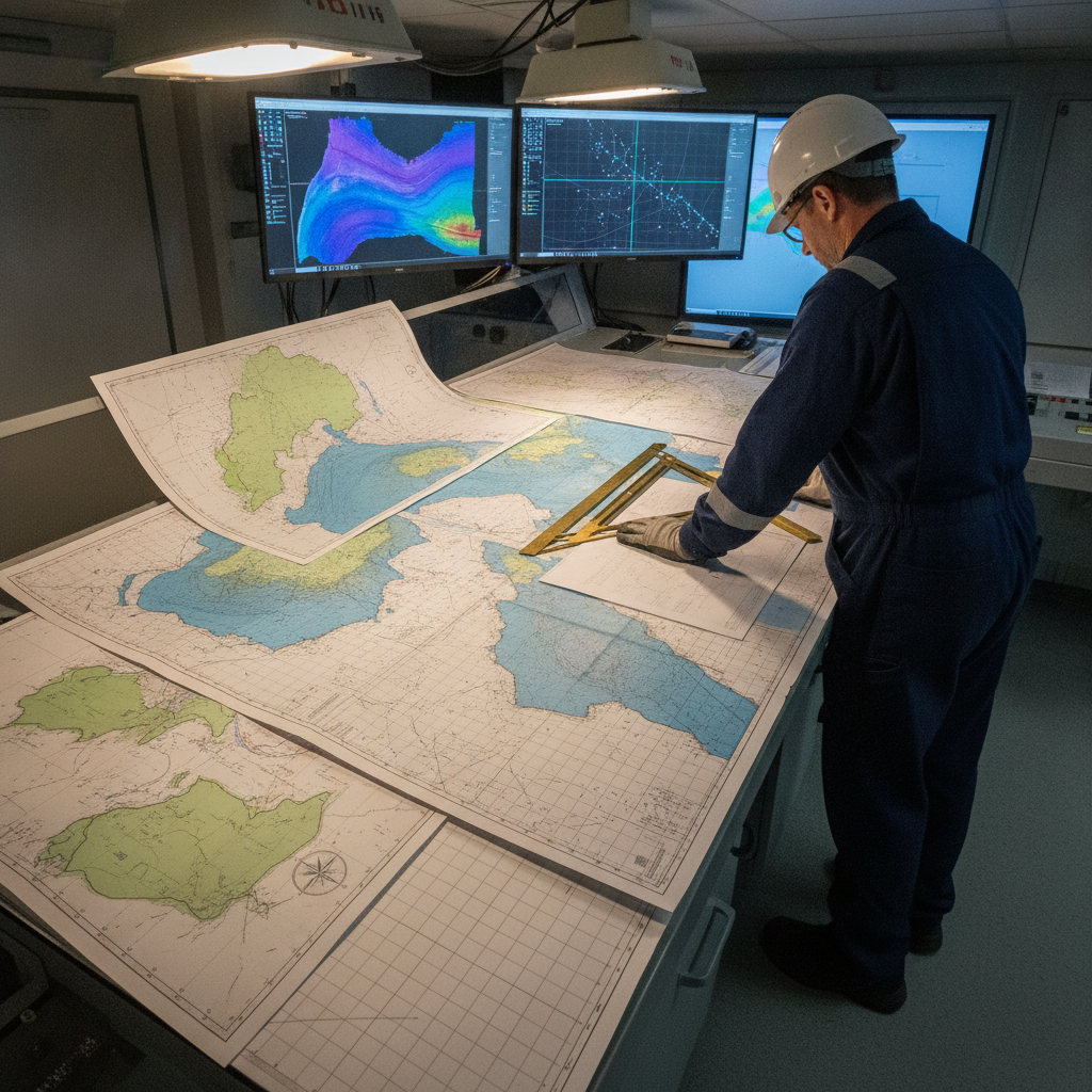
What is in a name?
Geomatics, Offshore Survey, Hydrography - are they all the same?
Freelance competence validation – what are the choices?
How does someone in the large freelance market for offshore survey demonstrate competence. Are CVs enough still, and are CVs even believable?
IOGP SSDM version 3: what the seabed survey data model update changes
IOGP SSDM Version 3 (Report 462) is in development for 2027. What the ArcGIS Pro and dynamic-CRS overhaul means for seabed survey data teams.
Offshore Geomatics Foundation Certificate · October 2026
Turn reading into certified competence
You have just read what a standard actually requires – and where it stops. The Foundation Certificate exists to prove you can work with that distinction.
Early-access list gets 40% off at launch. No spam – the waitlist is only ever used for the certificate. What the certificate covers →