Executive Summary
Fugro's award to characterise the Greater Sunrise and Bayu Undan developments offshore Timor-Leste is an acquisition-led package spanning geophysical, seismic and AUV work in over 3,000 m of water. The deliverable that FEED actually consumes is an integrated ground model, not survey line data – and the gap between the two is where campaigns overrun and remobilise. We set out what drives a deepwater scope, the five places scoping commonly fails, and how to specify a campaign so the ground model is FEED-ready on first delivery.
On this page10 sections
- A deepwater award that frames the scope question
- The deliverable is the ground model, not the survey
- What actually drives a deepwater scope
- Where scoping goes wrong
- 1. Geophysics and geotechnics scoped as separate silos
- 2. Under-specifying the deepwater geohazard scope
- 3. Positioning and datum errors that make data un-mergeable
- 4. Chasing coverage at the expense of the section that matters
- 5. No defined acceptance criteria for the ground model itself
- How to scope it so FEED gets what it needs
A deepwater award that frames the scope question
Fugro has secured offshore site characterisation surveys supporting the Greater Sunrise and Bayu Undan energy developments offshore Timor-Leste. The scope spans geophysical, seismic and autonomous underwater vehicle (AUV) acquisition, in places over 3,000 m of water, and is directed at pipeline routing, engineering design, geohazard assessment and offshore operations. Data will be processed through the company’s regional centres in Kuala Lumpur and Perth. Mobilisation and planning are set for the third quarter of 2026, offshore operations for the fourth, and the offshore campaign is expected to run about three months. Safri Drahman, the company’s APAC regional business line director, framed the award as client confidence in executing complex programmes in challenging marine environments.
Notice what the published scope names and what it does not. It lists geophysical, seismic and AUV surveys – an acquisition-led package. It does not, in the public wording, name a geotechnical drilling or seabed cone-penetration programme. That is not a criticism of the award; a deepwater greenfield programme is almost always phased, with geophysics leading and geotechnics following once targets are known. But for anyone scoping their own greenfield campaign, the relationship between those two workstreams is the decision that governs schedule, cost and whether the final product is usable for engineering. This article is about that decision, not about the Timor-Leste contract specifically.
The deliverable is the ground model, not the survey
FEED does not consume bathymetry grids, seismic sections and soil logs as separate artefacts. It consumes an integrated ground model: a spatial framework in which seabed morphology, shallow stratigraphy, geohazards and geotechnical soil units are reconciled into one interpretation that engineering can design against. Pipeline routing needs continuous corridor characterisation and pipe-soil interaction parameters. Foundation and anchor design need soil strength profiles tied to a stratigraphic architecture. Geohazard assessment needs slope stability, shallow gas, faulting and mass-transport deposits placed in a common reference frame. The ground model is where those threads are woven together, and it is the thing that has to be fit for purpose when FEED starts.
The commercial exposure sits in the gap between acquisition and ground model. A survey can be technically flawless – full coverage, clean data, tight positioning – and still deliver a ground model that engineering rejects because the geotechnical control is in the wrong places, the datum is inconsistent, or the geohazard scope never addressed the failure modes that matter at 3,000 m. When that happens the correction is a remobilisation, and in deepwater a remobilisation is measured in weeks of vessel time and a slipped FEED gate. Scoping is the point where that risk is either managed or baked in.
What actually drives a deepwater scope
Several engineering realities shape the campaign long before a vessel sails, and each of them trades directly against cost and schedule.
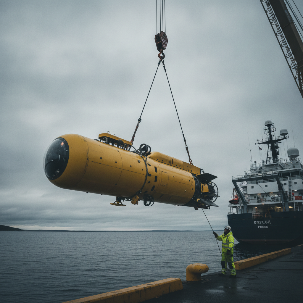
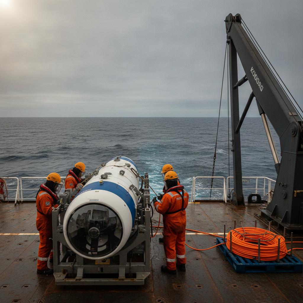
Water depth reshapes the acquisition method. Beyond roughly a few hundred metres, hull-mounted and towed high-resolution systems lose the geometry needed for site-survey resolution. The seabed is simply too far from the sensor. That is why AUV acquisition dominates deepwater site characterisation: flying a multibeam echo sounder, side-scan sonar and sub-bottom profiler at a fixed altitude of tens of metres above the seabed restores the spatial and vertical resolution that pipeline and foundation engineering require. The trade is navigation. An AUV at 3,000 m runs on an aided inertial navigation system with Doppler velocity log bottom-lock, updated by USBL or LBL, and the achievable position accuracy of every sounding is only as good as that aiding solution. Scoping has to state the required horizontal and vertical uncertainty, not just the survey line spacing.
Coverage and resolution pull in opposite directions. A regional geophysical reconnaissance line plan buys you understanding of the setting – the channel systems, the slope, the regional faults – at low cost per square kilometre. Engineering-grade characterisation of a pipeline corridor or a foundation footprint needs dense, overlapping coverage and ultra-high-resolution seismic. You cannot afford the second everywhere, and you should not try. The scope decision is where you decide which parts of the field get reconnaissance and which get detailed acquisition, and that decision depends on interpretation that may not exist yet – which is the argument for phasing.
Sequencing decides whether you remobilise. The efficient order is desktop study, then regional geophysics, then detailed geophysics over confirmed corridors and locations, then geotechnical sampling and in-situ testing placed against the geophysical interpretation, then ground-model integration. Mobilise geotechnics before geophysics has located the soil-unit boundaries and geohazards and you will drill in the wrong places. In deepwater that ordering has real weight, because the geotechnical spread – whether a drillship-based downhole tool or a seabed CPT/coring system – is expensive to hold on standby and expensive to bring back.
Deepwater tropical margins carry specific geohazards. Over 3,000 m of water on an active margin, the scope has to address slope instability and mass-transport deposits, shallow gas and fluid migration, faulting, and the base of the gas hydrate stability zone. Hydrate dissociation beneath a warm production pipeline is a design-relevant failure mode, not an academic one, and identifying the hydrate stability boundary is a sub-bottom and seismic interpretation task that has to be scoped in deliberately. If the geohazard register is thin, the ground model will be too.
Where scoping goes wrong
The failures we see repeatedly are not exotic. They are predictable consequences of treating a site-characterisation campaign as a data-collection exercise rather than as the front end of an engineering deliverable.
1. Geophysics and geotechnics scoped as separate silos
When the two workstreams are procured and specified independently – often by different teams, sometimes to different reference frames – the integration step at the end becomes an argument rather than a synthesis. Geophysical horizons and geotechnical soil units have to be tied together; that only works if the geotechnical sample and test locations were chosen to calibrate the geophysical interpretation, and if both datasets share positioning and vertical datum. The correct model is a single characterisation objective with two acquisition methods serving it, not two surveys stapled together afterwards.
2. Under-specifying the deepwater geohazard scope
A scope written for a shallow-shelf setting will not cover the failure modes of a deep active margin. Slope stability analysis needs the right geotechnical parameters in the right units; shallow-gas and fluid-migration assessment needs sub-bottom and high-resolution seismic tuned for it; hydrate stability needs to be evaluated explicitly. IOGP guidance on the conduct of offshore drilling-hazard site surveys and ISO 19901-10 on marine geophysical investigations set the expectation for what a geohazard-competent survey covers. If your statement of work does not name the hazards to be assessed, the contractor will acquire data but not necessarily the evidence engineering needs.
3. Positioning and datum errors that make data un-mergeable
The single most avoidable way to wreck an integrated ground model is inconsistent geodesy. A mismatched geodetic datum, an unresolved tidal or vertical reference, or an AUV navigation solution with unquantified drift will leave geophysical and geotechnical data that cannot be reconciled to the tolerance engineering assumes. IHO S-44 Edition 6 gives the framework for stating and demonstrating positional and depth uncertainty, and the scope should require total propagated uncertainty to be reported, not implied. In deepwater the AUV aiding architecture – USBL versus LBL, the box-in strategy, and the survey control on the surface reference – deserves the same scrutiny as the sensors.
4. Chasing coverage at the expense of the section that matters
A plan that maximises seabed coverage but under-resolves the shallow stratigraphy delivers a good map and a poor ground model. Pipeline freespan analysis, on-bottom stability to DNV-RP-F109, and lateral buckling assessment all depend on the near-surface soils and the first few metres of section, not on wide-area bathymetry alone. The corollary is also true: exquisite point data with no corridor continuity leaves the route engineer interpolating across unknown ground. Scope the resolution to the design question, corridor by corridor.
5. No defined acceptance criteria for the ground model itself
Many campaigns specify acquisition parameters in detail and the final deliverable barely at all. If the statement of work does not define what a FEED-ready ground model contains – the stratigraphic units, the geotechnical parameter profiles, the geohazard register, the uncertainty statement, the format engineering will consume – then “complete” is a matter of opinion. That ambiguity is where scope disputes and late rework live.
How to scope it so FEED gets what it needs
The following are the specific moves that separate a campaign that delivers a usable ground model from one that delivers data and an integration problem.
-
Write the ground-model specification first, then scope backwards. Define the FEED deliverable – stratigraphic framework, soil-unit parameter ranges, geohazard register, and a stated positional and depth uncertainty budget – before you specify a single survey line. Every acquisition choice should trace to something the ground model requires.
-
Procure geophysics and geotechnics against one characterisation objective and one geodetic reference. Fix the horizontal datum, the vertical reference and the projection in the statement of work, and require both workstreams to report total propagated uncertainty per IHO S-44 Edition 6. This is the cheapest insurance against an un-mergeable dataset.
-
Phase the campaign and hold a re-scope gate between geophysics and geotechnics. Use the regional and detailed geophysical interpretation to place geotechnical sampling and in-situ testing where they calibrate the soil-unit boundaries and interrogate the geohazards. Building this hold point into the schedule is far cheaper than a geotechnical remobilisation to 3,000 m.
-
Name the geohazards to be assessed explicitly. For a deepwater active margin that means slope stability and mass-transport deposits, shallow gas and fluid migration, faulting, and the gas hydrate stability zone. Reference IOGP drilling-hazard survey guidance and ISO 19901-8 and 19901-10 so the contractor is measured against a defined standard rather than a general expectation.
-
Match resolution to the design question along each corridor. Specify ultra-high-resolution seismic and dense AUV coverage where pipe-soil interaction, free-span (DNV-RP-F105), on-bottom stability (DNV-RP-F109) and pipe-soil interaction/lateral buckling (SAFEBUCK-derived practice) will be assessed, and accept reconnaissance-grade coverage where the objective is only regional understanding.
-
Interrogate the AUV navigation and endurance plan. Ask for the aiding architecture, the expected navigation drift, and the box-in strategy, and confirm the achievable per-sounding uncertainty against your budget. For long deepwater deployments the survey plan has to account for launch-and-recovery windows, dive endurance and data-density trade-offs, questions we have examined in the context of planning survey coverage for multi-week AUV deployments. Where seabed classification feeds pipe-soil parameters, require calibrated backscatter processing rather than treating it as a by-product, a point developed in our note on extracting seabed maps from the MBES returns you already collect.
-
Set acceptance criteria and a QC regime for the final model, not just the raw data. Define what “FEED-ready” means in writing, require an uncertainty statement with the model, and stage the deliverable so engineering can review an interim ground model before demobilisation while corrective acquisition is still possible.
The engineering that follows a greenfield award – the pipeline route, the foundations, the geohazard mitigations – is only as sound as the ground model beneath it. Deepwater does not forgive a thin scope, because the cost of going back is measured in vessel weeks and a moved FEED gate. Specify the model you need first, phase the acquisition to calibrate itself, and hold both workstreams to one geodetic reference and one set of acceptance criteria. That is what turns three months of offshore data into an interpretation engineering can build on.
Read next

Layered seabed, layered risk: North Sea ground models and cable burial
New BGS North Sea ground models expose the layered seabed that single-soil burial assessments miss – and reshape route-clearance and burial-depth decisions.
Buy the AUV or the capability? The HUGIN Superior question
Norway's HUGIN Superior brings deep-sea AUV mapping in-house. We unpack the navigation, bathymetry and assurance decisions owners face at 6,000 m and high latitude.
Finding a wreck at 610m: what a first-pass AUV hit teaches offshore search
A HUGIN AUV located a Pan Am DC-4 at 610m off Puerto Rico on its first pass. We unpack what that means for scoping deep-water search-and-survey work.
Offshore Geomatics Foundation Certificate · October 2026
Turn reading into certified competence
Decisions like this one are easier to defend when the fundamentals behind them are certified, not assumed.
Early-access list gets 40% off at launch. No spam – the waitlist is only ever used for the certificate. What the certificate covers →