Executive Summary
A new Coastal Engineering study revisits radar-derived bathymetry, which reads water depth from wave behaviour rather than acoustic sounding. We assess where this remote-sensing method fits against IHO S-44 survey orders, why it cannot replace multibeam for charting, and how to deploy it for temporal monitoring of dynamic nearshore morphology with honest uncertainty reporting.
On this page5 sections
What the new study puts on the table
Coastal Engineering has published work on radar-derived bathymetry by M. Said Parlak, Matteo Postacchini and Maurizio Brocchini, appearing in Volume 212 with a cover date of 15 December 2026. The subject is depth estimation by inverting the observed sea state – inferring water depth from how surface gravity waves propagate – rather than by direct acoustic measurement from a sounder.
That is the whole of what we can state from the source, and it is enough to frame the engineering question that matters to a survey manager: where does a remote inversion technique fit against the acoustic methods and the quality framework we already run to? Radar-derived bathymetry (RDB) is not new physics, but the appetite for it is growing as nearshore morphology becomes more dynamic and as vessel-based coverage in very shallow or hazardous water stays expensive and slow. The rest of this article is our assessment of how RDB measures up to IHO S-44 and where it earns its place alongside multibeam.
The physics the inversion depends on
RDB rests on the linear dispersion relation for surface gravity waves:
σ² = g·k·tanh(kh)
where σ is the intrinsic angular frequency, k the wavenumber, h the water depth and g gravitational acceleration. If you can measure a wave’s frequency and its wavenumber from the sea surface, you can solve for h. That measurement is what an X-band marine radar delivers. Operating near 9 GHz with a grazing geometry, the radar returns sea clutter – Bragg backscatter from short surface ripples, modulated by the longer gravity waves. A sequence of radar images sampled at the antenna rotation rate gives a space-time data cube. A three-dimensional Fourier transform of that cube yields the wavenumber-frequency spectrum, from which the dispersion surface, and hence depth, is extracted cell by cell across the imaged area.
The sensitivity of the method is entirely a function of relative depth, kh. In deep water (roughly h greater than half a wavelength), tanh(kh) approaches unity, the dispersion relation collapses to σ² = g·k, and phase speed no longer depends on depth. There is simply no depth signal to invert. In shallow water the celerity tends to √(gh), which is strongly depth-dependent and gives the method its best leverage. The usable band sits across intermediate depths, where dispersion is measurably sensitive to h. This is the first hard constraint any user has to internalise: RDB is a nearshore and shelf-edge tool, not an open-ocean one.
A second complication is ambient current. A current U Doppler-shifts the apparent frequency, so the radar sees ω = σ + k·U rather than the intrinsic σ. Treat the flow as zero and you bias the depth estimate. Serious implementations therefore invert jointly for depth and current, or bring an independent current measurement to the problem. The upside is that the same radar data yields a surface current field and a directional wave spectrum, which is why X-band wave-radar installations of the WaMoS class already sit in the metocean toolkit. RDB is, in effect, a further product squeezed from a sensor that ports and offshore platforms often already operate.
Reading it against IHO S-44
The reference every hydrographer works to is IHO S-44, 6th edition (2020), and its Total Vertical Uncertainty model:
TVU = ±√(a² + (b·d)²) at the 95% confidence level
with the coefficients setting the order. Special Order takes a = 0.25 m and b = 0.0075; Order 1a and 1b take a = 0.5 m and b = 0.013; Order 2 takes a = 1.0 m and b = 0.023. Horizontal uncertainty and feature-detection requirements tighten in step – Special Order demands detection of cubic features larger than 1 m and near-complete seafloor search.
Set RDB against those numbers honestly and the conclusion is unavoidable. Reported RDB depth errors in favourable intermediate-depth conditions typically land in the range of tenths of a metre to around 10% of depth, and they degrade sharply toward deep water and in the surf zone. A well-run multibeam survey resolves the seabed at the centimetre-to-decimetre level with dense, verifiable coverage and full feature detection. RDB does not compete for that role and should never be presented as if it does. It cannot meet Special Order or Order 1a for charting, and it does not perform a seafloor search in any sense S-44 recognises.
What RDB offers is a different axis of value that S-44 orders do not directly reward: temporal density and access. A shore-mounted or vessel-mounted radar can return a depth field over the same footprint repeatedly – through a storm, across a spring-neap cycle, week after week – over ground that a survey launch reaches only occasionally and a diver or ROV cannot safely occupy at all. The surf zone, drying banks, and hazardous port approaches are exactly where acoustic platforms struggle and where morphology changes fastest. That complementarity is the correct mental model. Multibeam sets the accurate, S-44-compliant baseline. RDB tracks change between those baseline epochs and fills coverage in water too shallow or too dangerous for the hull.
There is also a datum discipline that RDB shares with every other survey method and that operators sometimes underplay. The radar returns depth relative to the instantaneous water surface at the moment of imaging, so the output has to be reduced to a vertical datum using co-located water-level observations or a validated tide model – the same water-level rigour metocean leads apply when they validate extreme sea level values for offshore design. Skip that step and a run of radar-derived surfaces drifts against chart datum by the tidal range.
Where the inversion breaks down
Anyone specifying RDB needs to be explicit about its failure modes, because they are physical and not merely a matter of processing effort.
No waves, no data. The method needs wave energy in a frequency band the radar can resolve. In flat calm, or when the wave field is too short or too long relative to the imaged area, the dispersion surface cannot be recovered and cells go void. A minimum significant wave height threshold has to be set below which output is suppressed rather than reported with false confidence.
Deep-water insensitivity. As kh grows the depth signal vanishes. Cells beyond the intermediate-depth band should be flagged and excluded, not extrapolated. A single gridded product that mixes strong intermediate-depth estimates with meaningless deep-water cells is worse than no product, because it hides its own limits.
Nonlinearity and breaking. Linear dispersion is the working assumption, and it degrades as waves shoal, steepen and break. Amplitude dispersion and the wholly nonlinear physics of the surf zone bias the inversion where, ironically, the depth sensitivity is otherwise highest. This is an active area of method development, and users should treat surf-zone RDB as indicative until it is ground-truthed on the specific site.
Current contamination. Unaccounted flow maps directly into depth error through the Doppler term. Sites with strong tidal streams need joint depth-current inversion or an independent current record from an ADCP.
The uncertainty-model gap. This is the real standards problem. S-44 was written around acoustic and, latterly, airborne lidar bathymetry, with uncertainty budgets that flow from known sensor and platform error sources. RDB has no equivalent, agreed per-cell uncertainty model, and no S-44 order was drafted to accommodate a wave-inversion product. Until a defensible uncertainty budget travels with the depth grid, RDB output cannot be assigned an order and, when it feeds a chart product, belongs in a low Category Zone of Confidence – never used to upgrade a ZOC on its own.
The route out of that gap already exists in the wider data model. Delivering RDB as a gridded S-102 bathymetric surface with its uncertainty layer populated is precisely the kind of product the S-100 framework was built to carry for modern and autonomous survey workflows, and the companion S-111 surface-current product can carry the current field the same radar produces. The technology to distribute honest, uncertainty-tagged RDB is not the constraint. The agreed uncertainty methodology behind it is.
How to fold it into a survey programme
Treat RDB as a monitoring and reconnaissance layer beneath an acoustic baseline, and specify it accordingly.
- Anchor to a multibeam baseline. Establish the site to at least S-44 Order 1a – Special Order where charting or engineering tolerances demand it – before RDB is used to infer change. RDB tells you how the seabed moved; multibeam tells you where it started from.
- Ground-truth every campaign and report by depth band. Run multibeam or single-beam check lines across the radar footprint and report RMSE separately for shallow, intermediate and near-deep cells. Do not quote a single site-wide accuracy figure; the error is a function of kh and must be reported that way.
- Fix the vertical datum properly. Co-locate a water-level gauge or use a validated tide model, and reduce every radar epoch to chart datum before differencing surfaces. Log the water-level source with the data.
- Handle current explicitly. On sites with tidal streams above a few tenths of a metre per second, either invert jointly for depth and current or supply an independent ADCP record, and state which was done.
- Void the cells the physics cannot support. Suppress output below a defined significant wave height threshold, outside the intermediate-depth band, and in the active surf zone unless site-specific validation justifies otherwise. A smaller, trustworthy grid beats a full grid you cannot defend.
- Deliver with uncertainty attached. Publish as an S-102 surface with a populated uncertainty layer, assign a low CATZOC where the data contributes to charting, and prohibit ZOC upgrades from radar alone in the deliverable specification.
- Record the acquisition geometry. For vessel- or USV-mounted radar, log antenna height and geometry, heading, rotation rate and image-sequence length with every dataset. These govern the recoverable wavenumber range and are the first things a reviewer will need.
The engineering call is straightforward once the roles are separated. RDB will not sound a wreck, will not meet Special Order, and will not survey a channel to charting standard. What it does, and does well, is give a continuous picture of change over dynamic nearshore ground that acoustic platforms visit too rarely and reach too dangerously. Used as a temporal monitoring layer over an S-44-compliant baseline, with its uncertainties reported band by band and carried in the data product, it strengthens a survey programme. Sold as a multibeam substitute, it will fail the first acceptance review that reads it against S-44 – as it should.
Based on: Radar-derived bathymetry (Coastal Engineering, Vol. 212)
Published by
Hydrographic Methods Committee
Bathymetry, Multibeam & Seabed Mapping
An independent review committee focused on hydrographic survey methodology, IHO standards interpretation, and seabed mapping best practices for offshore and coastal projects.
Read next
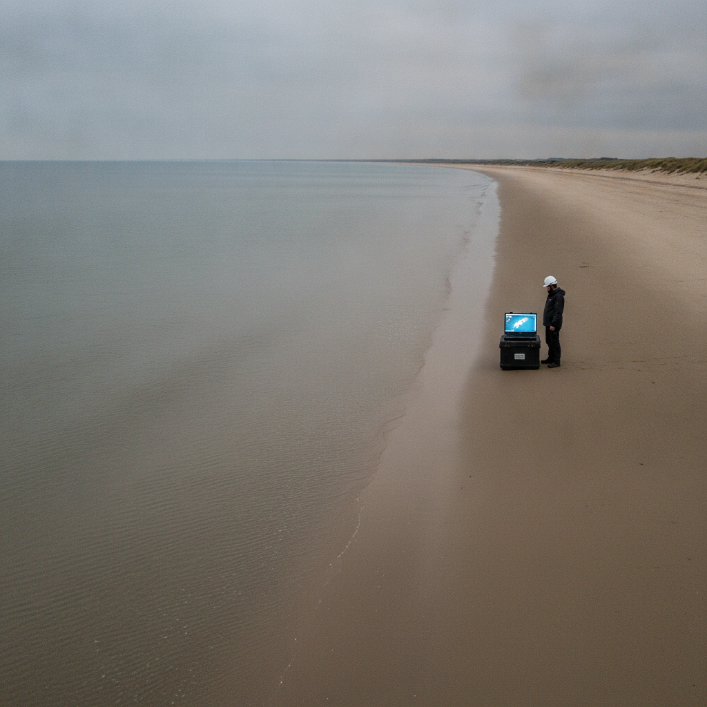
Reading the tide off the beach: chart datum and tidal reduction implications
A new satellite waterline method resolves along-coast tidal variation to 100m. We unpack what it means for chart datum, tidal reduction and vertical referencing.
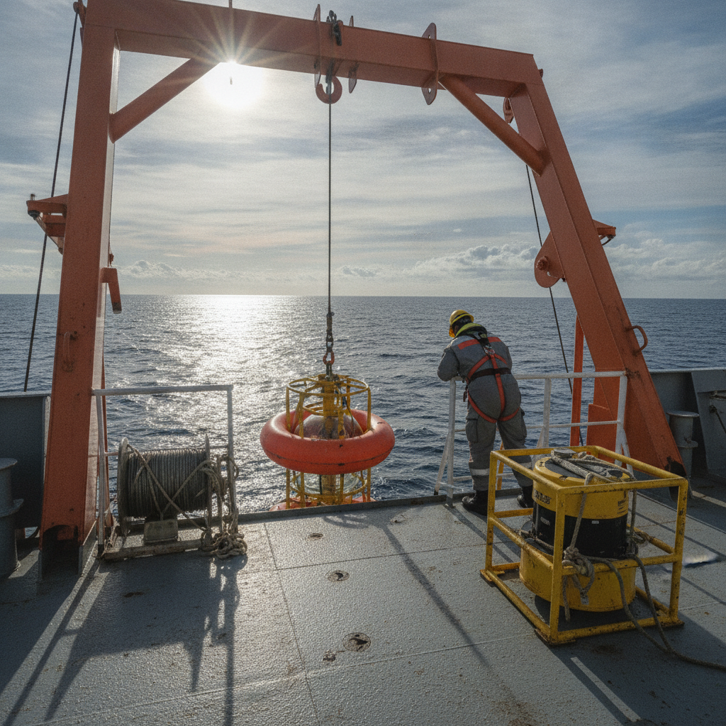
Deep-sea mining EIAs: ADCP deployment reality vs regulatory demand
Deep-sea mining EIA baseline monitoring with ADCPs: what ISA rules require for currents and sediment plumes, and where survey managers under-scope.

IOGP SSDM version 3: what the seabed survey data model update changes
IOGP SSDM Version 3 (Report 462) is in development for 2027. What the ArcGIS Pro and dynamic-CRS overhaul means for seabed survey data teams.
Offshore Geomatics Foundation Certificate · October 2026
Turn reading into certified competence
You have just read what a standard actually requires – and where it stops. The Foundation Certificate exists to prove you can work with that distinction.
Early-access list gets 40% off at launch. No spam – the waitlist is only ever used for the certificate. What the certificate covers →