Executive Summary
The Clipper Endeavor was found at 610m off Puerto Rico on the first sonar pass, then confirmed by a photographic survey. The result looks like a triumph of the vehicle, but the decisive work was defining a 10-square-nautical-mile search box from archival evidence and matching sensor coverage to target size. For anyone scoping a deep-water search – wreck, dropped object, debris field or pipeline anomaly – the budget and risk sit in the search-box intelligence, the detection-versus-identification split, and the AUV navigation error budget, not in the platform itself.
On this page10 sections
- A DC-4 found on the first pass at 610m
- Why the search box, not the vehicle, sets the bill
- What actually governs a deep-water find
- Where teams get the scoping wrong
- 1. Treating the AUV as the deliverable
- 2. Under-investing in the search-box intelligence
- 3. Confusing a sonar contact with an identification
- 4. Ignoring the navigation error budget when building the target list
- 5. Planning for a weather window you do not have
- How to scope your next deep-water search
A DC-4 found on the first pass at 610m
The wreckage of the Clipper Endeavor, a Pan Am DC-4 lost on 11 April 1952, has been located and surveyed at roughly 610m (nearly 2,000 feet) in the Atlantic off Puerto Rico. A Kongsberg HUGIN autonomous underwater vehicle carrying advanced sonar detected the fuselage and tail during the first pass of the search area on 2 June, with a follow-up photographic survey confirming the identification. The imagery reportedly showed the Pan Am logo and the aircraft’s name still legible on the hull, which had broken into two sections.
The expedition was led by the Air/Sea Heritage Foundation and Deep Sea Vision, a subsidiary of Eco Minerals Inc., in partnership with the Discovery Channel’s Expedition Unknown and other organisations. The find rested on more than the vehicle. Researchers recovered records from a public hearing in Puerto Rico, including a map drawn by air force pilots who witnessed the crash, and combined it with historical weather data to narrow the search to roughly 10 square nautical miles of seabed. An earlier attempt in 2024 was abandoned to poor weather. The Clipper Endeavor had gone down after multiple-engine failure shortly after take-off, forcing a violent water landing; of the 69 people aboard, only 17 survived, and the disaster drove new rules on aircraft flotation equipment and pre-flight briefings.
For survey managers and positioning engineers, the interesting part is not the archaeology. It is that a large steel target in a well-defined box was resolved on the first line, then reacquired for identification with a camera. That sequence is exactly the deep-water search-and-survey problem you scope for dropped objects, debris fields, lost containers and pipeline anomalies. It is worth taking apart properly.
Why the search box, not the vehicle, sets the bill
The cost and schedule of a deep-water search are governed almost entirely by the area you have to ensonify and the coverage density you specify, not by which AUV badge is on the fairing. A modern survey AUV at this depth flies a corridor of seabed set by its sonar swath and altitude. Double the search area and you double the line kilometres; halve the required line spacing to catch a smaller target and you double them again. Vessel day-rate is the dominant line item, so anything that shrinks the box before mobilisation pays back faster than any sensor upgrade.
That is the real lesson behind the 10-square-nautical-mile figure. Constraining the search from archival testimony and met-ocean reconstruction converted an open-ocean problem into a job an AUV could close inside a single deployment window. The team spent effort on the position intelligence, and the platform then did what the platform does. Reverse that priority – a vague datum and a large box – and you buy weeks of survey time to compensate for a weak prior.
There is a second cost axis that people underestimate: the identification pass. A sonar contact is not a confirmed target. The photographic reacquisition in this case was a distinct operation with its own navigation, altitude and lighting constraints, and on many commercial jobs it is the reacquisition, not the search, that consumes the ROV or AUV time. Scoping the two phases as one undifferentiated “survey” line is a reliable way to blow a budget.
What actually governs a deep-water find
Strip the job to its engineering drivers and four decisions dominate.
Sensor selection against target size. Vehicles in this class typically carry interferometric or synthetic-aperture side-scan sonar plus a multibeam echosounder. The choice is not brand loyalty; it is whether the along-track and across-track resolution will resolve your smallest credible target at the range you intend to fly. A wreck the size of a DC-4 is a generous target with strong acoustic returns and a recognisable geometric signature – fuselage, tail, debris scatter. A 1m dropped tool or a section of parted umbilical is not, and it forces you either closer to the seabed or onto a tighter line plan. Match the sensor and geometry to the smallest thing you must find, then confirm the coverage arithmetic supports it.
Altitude, line spacing and coverage. At 610m the vehicle still flies low relative to the seabed – commonly tens of metres altitude – so that the sonar grazing angles and resolution stay useful and the DVL keeps bottom-lock. Line spacing follows from swath width and the ensonification overlap you demand. For a genuine search where a miss is unacceptable, you plan for full overlapping coverage rather than nominal single-pass coverage, because outer-swath resolution and nadir gaps degrade detection precisely where you least want it. IHO S-44 (6th Edition, 2020) frames this well: its object-detection requirement for the higher orders – resolving cubic features on the order of a metre – is the yardstick to hold your line plan against, even on a non-charting search.
Navigation and the position error budget. An AUV’s absolute position is an aided-inertial solution: an INS disciplined by DVL bottom-track velocity, with surface USBL updates and, where accuracy demands, an LBL transponder array or seabed reference. Aided INS drift accumulates as a fraction of distance travelled, so a long search line ends with a larger position uncertainty than it began. Add the USBL slant-range error at 610m and the geo-referencing chain, and any sonar contact carries a real uncertainty ellipse – often tens of metres – around its charted position. That number matters enormously for the next phase, because it defines how big a haystack you must re-search with a camera. Where acoustics are marginal or a tighter local fix is needed, terrain-relative and visual navigation techniques that build position confidence without leaning on USBL are now a credible part of the toolkit.
Detection versus identification. These are different tasks with different sensors and different acceptance criteria. Detection is a sonar problem solved from altitude across a wide swath. Identification is an optical or high-resolution acoustic problem solved from a few metres, with lighting, turbidity and station-keeping all in play. The first pass told the team there was an aircraft-shaped object where the archive predicted; the photographic survey turned that into a named wreck. Every deep-water search you scope has this two-stage structure, and treating it as one stage is the most common planning error we see.
Where teams get the scoping wrong
1. Treating the AUV as the deliverable
The vehicle is a means of moving a sensor along a line at controlled altitude. The deliverable is a confirmed target position at a stated confidence, delivered inside a weather window and a budget. Buyers who fixate on the platform specification – top speed, dive depth, brand – and skimp on the survey design, the sonar processing chain and the reacquisition plan routinely find the vehicle performed to spec while the job under-delivered. Whether you should even own the asset or simply buy the outcome is its own decision; we have argued elsewhere that the choice between the AUV and the capability deserves more scrutiny than most procurement gives it.
2. Under-investing in the search-box intelligence
Every hour spent tightening the prior position pays back in survey time avoided. Witness accounts, last-known-position data, drift and settling models, met-ocean reconstruction for the loss event – this desk work is cheap relative to a vessel day and it is what turns an intractable search into a first-pass hit. Teams that mobilise on a loose datum are buying vessel time to compensate for research they declined to do.
3. Confusing a sonar contact with an identification
A strong acoustic return in the right place is a candidate, not a confirmation. Steel wrecks, geology, lost fishing gear and old debris all produce convincing contacts. Sign-off on identification needs corroborating evidence – optical imagery, distinctive geometry, or a return to acquire more data – and the acceptance criteria for that call should be agreed before mobilisation, not improvised on deck when the client wants an answer.
4. Ignoring the navigation error budget when building the target list
A contact list without position uncertainties is not fit for planning reacquisition. If your INS/DVL/USBL chain yields a contact accurate to, say, a few tens of metres, the ROV or AUV camera pass must be planned to search that radius, at low altitude, in whatever visibility the site offers. Underestimate the uncertainty and the reacquisition dive comes up empty, then repeats – the most expensive kind of rework in deep water.
5. Planning for a weather window you do not have
The abandoned 2024 attempt is the ordinary reality of open-ocean work off an exposed coast. Launch and recovery of a survey AUV, and any surface-referenced USBL positioning, have real sea-state limits. A schedule with no met-ocean contingency is a schedule that will slip, and the slip usually lands on the identification phase at the end of the campaign when patience and budget are thinnest.
How to scope your next deep-water search
Turn the analysis into decisions you can defend to a project board.
-
Buy the prior position before you buy vessel days. Fund the archival, last-known-position and drift-modelling work first, and set a target search box no larger than the evidence supports. A box reduced from 100 to 10 square nautical miles is roughly an order-of-magnitude change in survey line kilometres and vessel time – a far bigger lever than any sensor choice.
-
Size line spacing to the smallest credible target, and demand overlapping coverage on a true search. Hold the plan against IHO S-44 (6th Edition) object-detection criteria for the order you need, and require full ensonification with swath overlap rather than nominal single-pass coverage where a miss is unacceptable.
-
Specify the AUV navigation aiding explicitly. Require aided INS with DVL bottom-lock at survey altitude and surface USBL updates, and state the position-accuracy requirement you are contracting to. Where a tighter local fix is needed for reacquisition, provision for an LBL array or terrain-relative/visual navigation rather than assuming USBL alone will suffice.
-
Contract detection and identification as two priced phases. Phase one is the sonar reconnaissance producing a contact list with per-contact position uncertainty; phase two is the targeted optical reacquisition. Agree the identification acceptance criteria in writing before mobilisation, and budget the reacquisition dives against the navigation error radius, not a point.
-
Build met-ocean downtime into the plan and protect the identification phase. Use the site’s seasonal statistics against the launch, recovery and USBL operating limits, and hold contingency so that weather loss does not consume the confirmation work at the end of the campaign.
-
Align the whole chain to recognised guidance. Positioning QC and survey conduct should follow the relevant IMCA survey and IOGP marine positioning guidance, with a documented integrity-decision trail from raw sonar contact to signed-off target. That audit trail is what lets a client – or a court, or a regulator – trust the position you deliver.
A first-pass find at 610m reads like a story about a clever vehicle. It is really a story about disciplined scoping: a tight box, coverage matched to the target, a navigation budget carried through to reacquisition, and a weather plan that survived contact with the Atlantic. Get those right and the platform is almost incidental. Get them wrong and no vehicle on the market will save the campaign.
Based on: Wreckage of Pan Am flight that prompted airline safety reforms located using autonomous sonar survey
Published by
Hydrographic Methods Committee
Bathymetry, Multibeam & Seabed Mapping
An independent review committee focused on hydrographic survey methodology, IHO standards interpretation, and seabed mapping best practices for offshore and coastal projects.
Read next
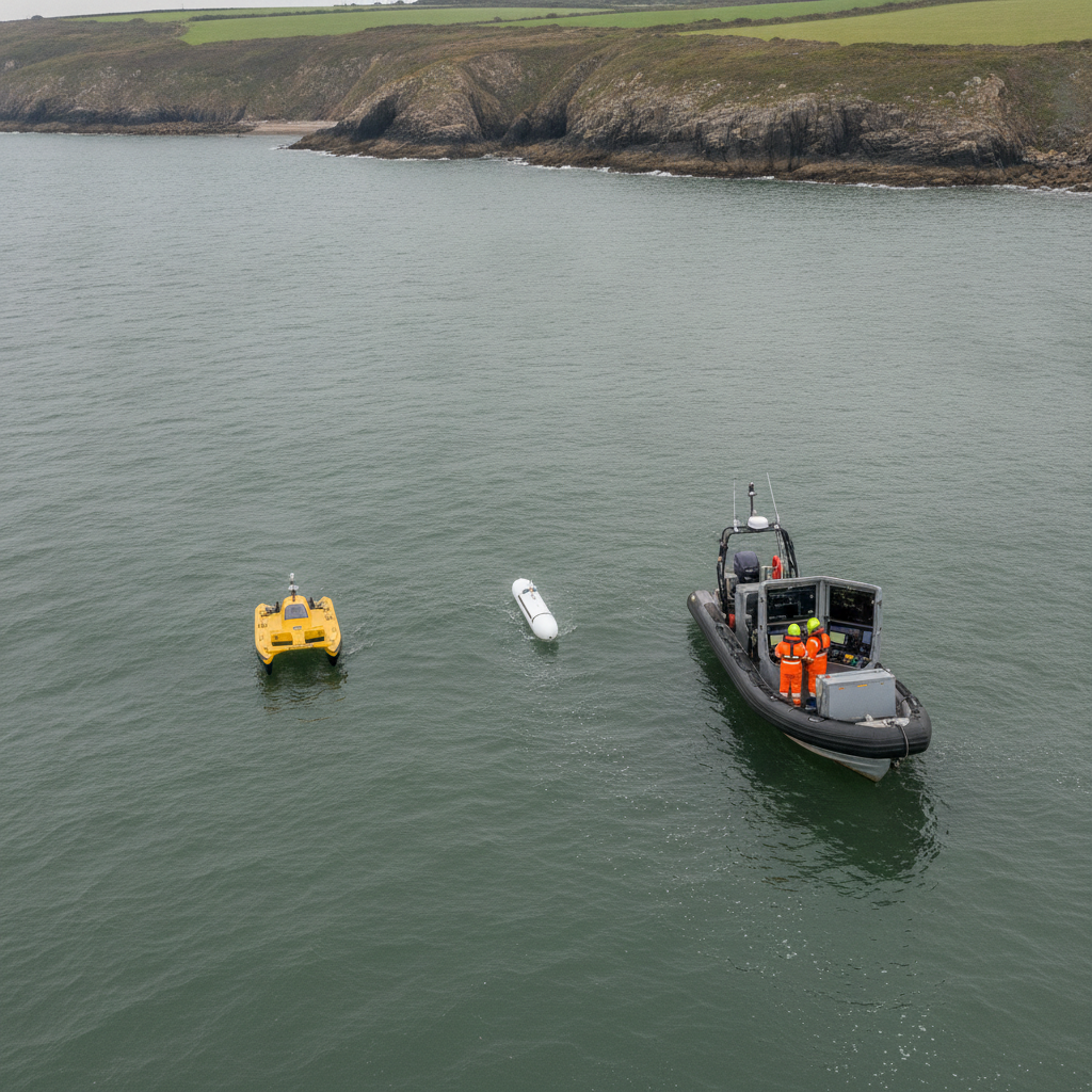
USV/AUV swarms: why positioning architecture is the real decision
The Plymouth SSCS trial shows multi-vehicle marine autonomy working. We analyse the positioning and coordination choices that decide survey coverage.
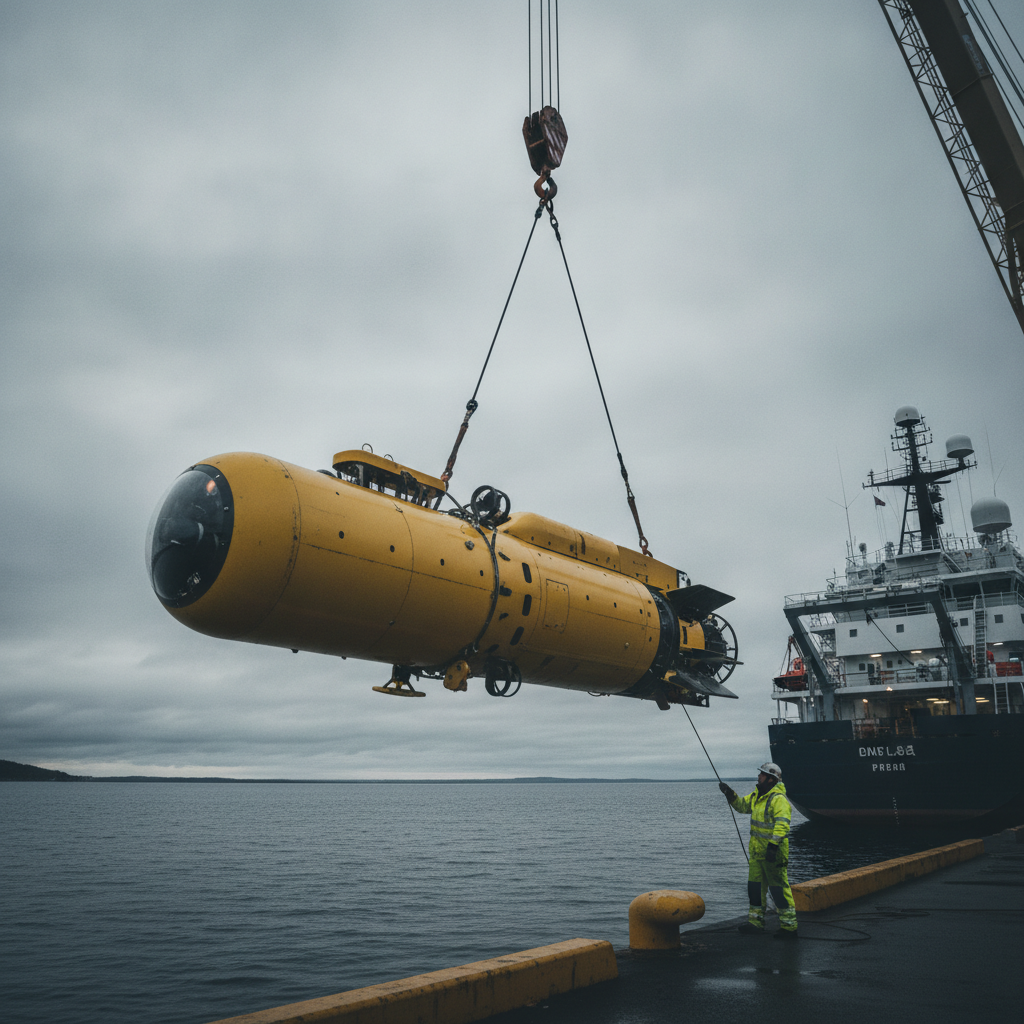
Buy the AUV or the capability? The HUGIN Superior question
Norway's HUGIN Superior brings deep-sea AUV mapping in-house. We unpack the navigation, bathymetry and assurance decisions owners face at 6,000 m and high latitude.
Freelance competence validation – what are the choices?
How does someone in the large freelance market for offshore survey demonstrate competence. Are CVs enough still, and are CVs even believable?
Offshore Geomatics Foundation Certificate · October 2026
Turn reading into certified competence
Decisions like this one are easier to defend when the fundamentals behind them are certified, not assumed.
Early-access list gets 40% off at launch. No spam – the waitlist is only ever used for the certificate. What the certificate covers →