Client Decisions (Hydrography) 9 min read
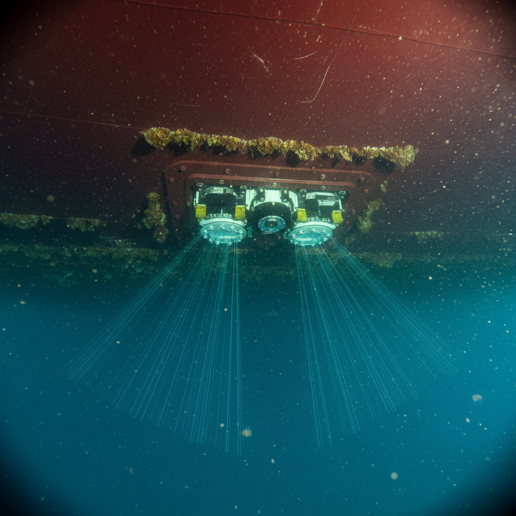
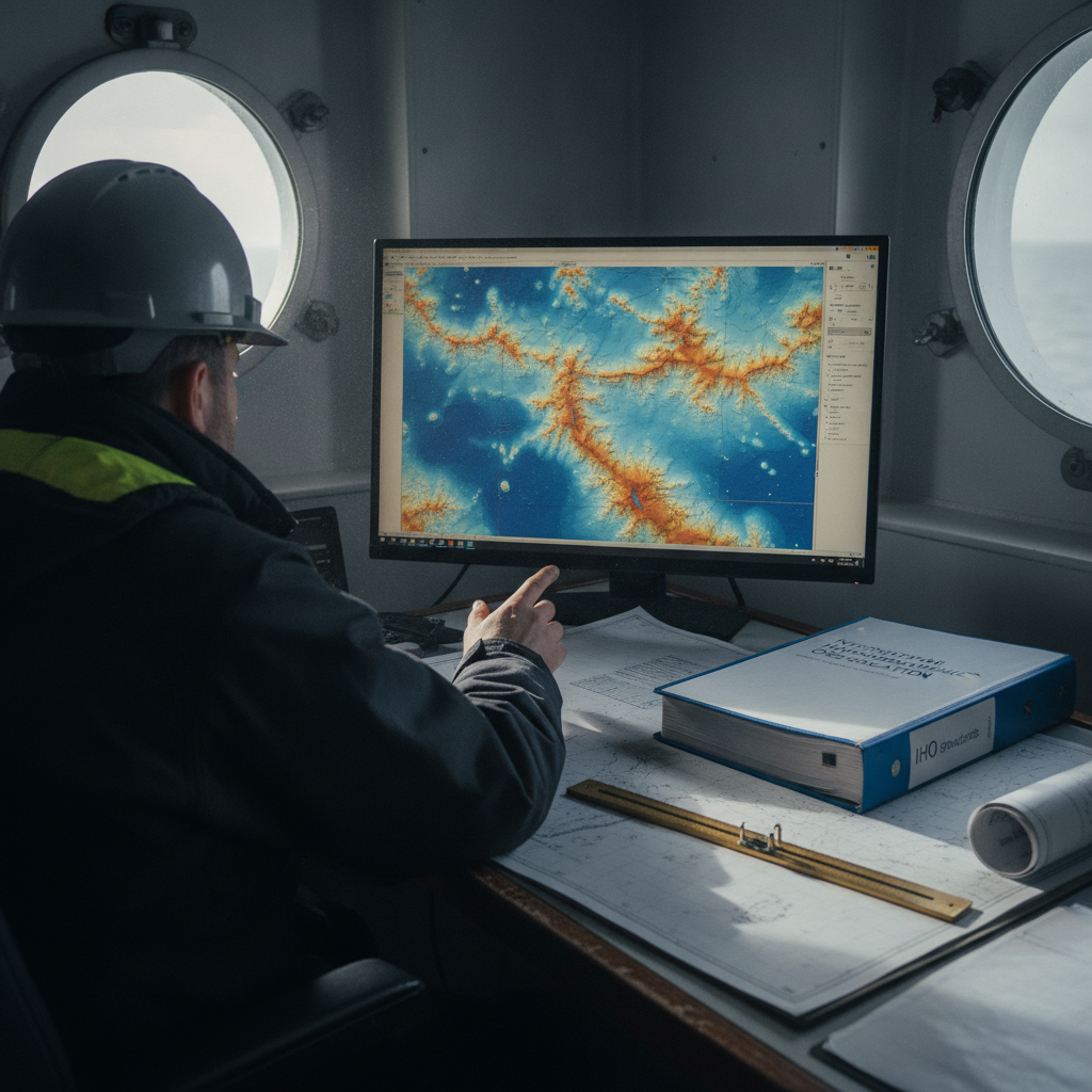
Backscatter you already own: turning MBES returns into seabed maps
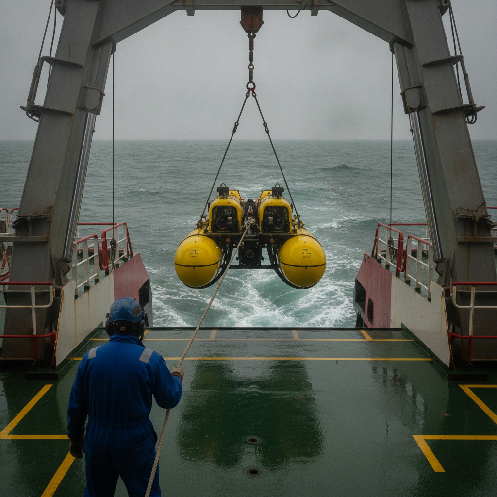
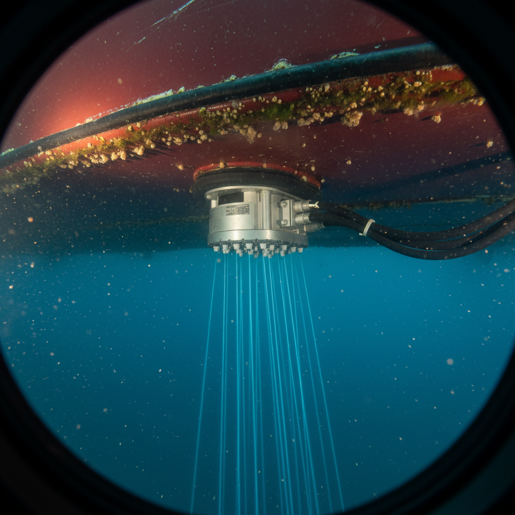
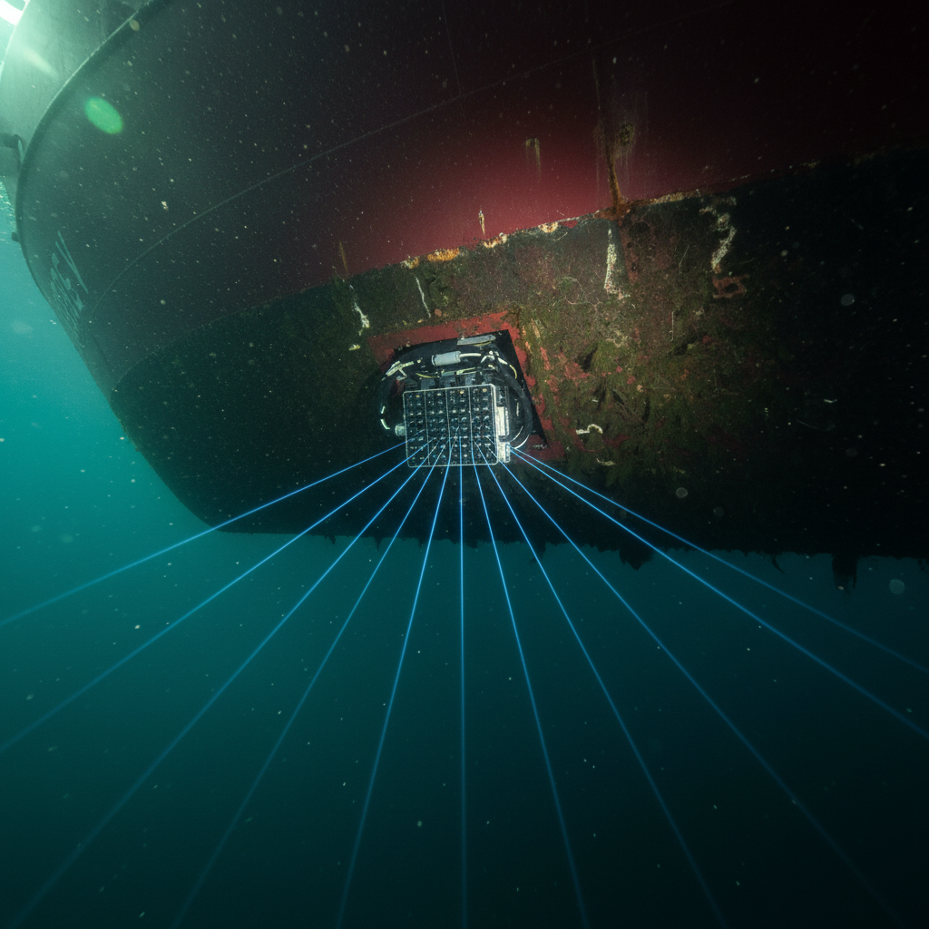
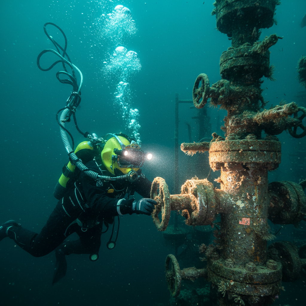
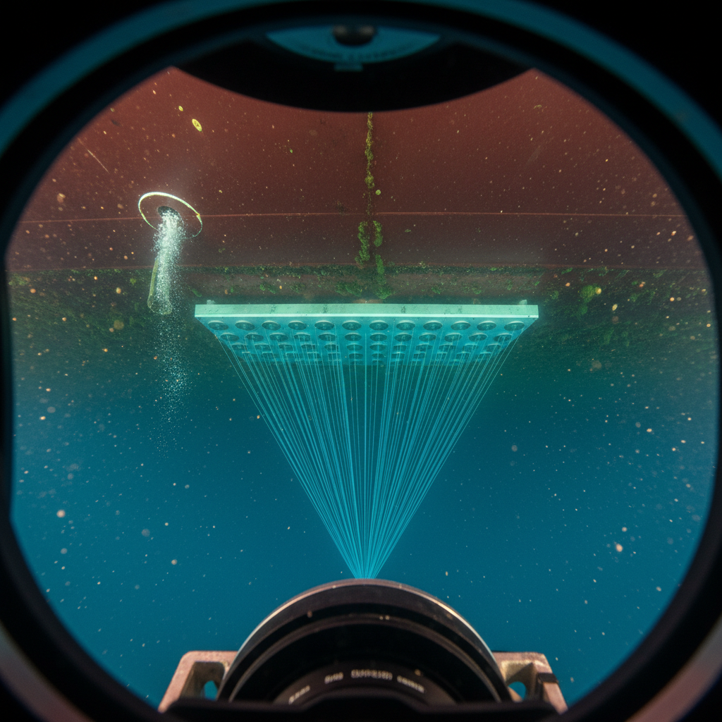
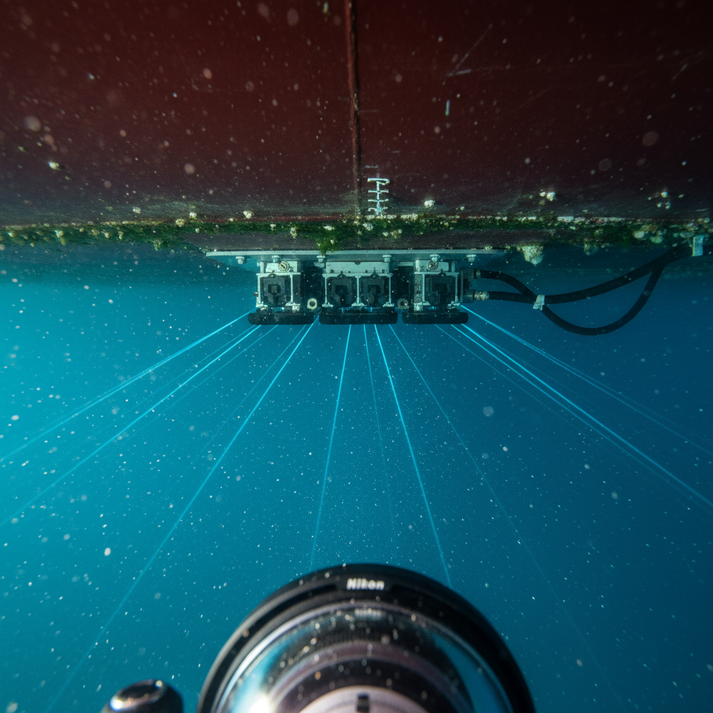
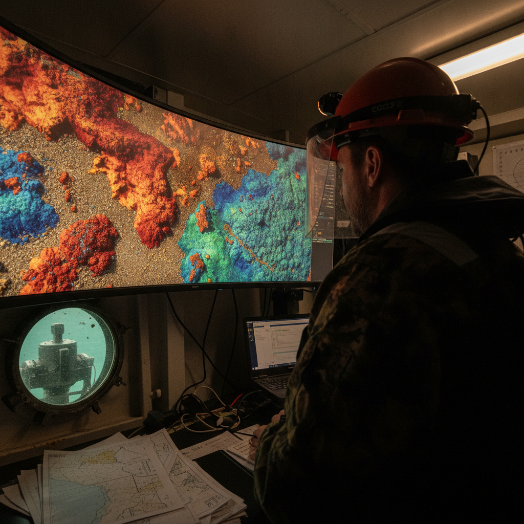
Every multibeam survey records backscatter alongside depth. We assess when it is worth processing into seabed classification, what governs data usability, and how to decide.