Executive Summary
Kongsberg Discovery's March 2025 relaunch of the Argeo Listen electromagnetic sensor system as 'Kongsberg Listen' signals more than corporate branding. By integrating EM sensing into Blue Insight and deploying it on HUGIN AUVs, Kongsberg is positioning electromagnetic data as core to subsea positioning workflows – not a specialist geophysical add-on. We've watched this pattern before with multibeam and USBL. The question isn't whether EM sensing matters. It's whether your QA procedures can actually validate what these systems claim to measure.
What Happened
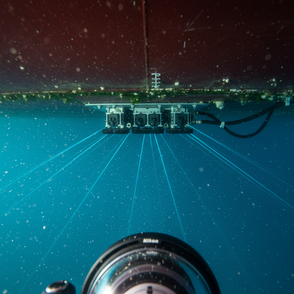
In March 2025, Kongsberg Discovery carried out a classic rebranding and renamed the Argeo Listen electromagnetic sensor system “Kongsberg Listen”. Why? Kongsberg Discovery had acquired Argeo’s electromagnetic sensor technology and expertise in August 2024. The updated platform is part of Blue Insight, Kongsberg’s data and analytics ecosystem. It offers everything you need: EM data processing, interpretation, visualisation - all in one place.
Kongsberg has already installed the system on HUGIN drones for applications ranging from cathodic protection pipeline inspection to offshore mineral exploration and geophysical surveys. The company will demonstrate the system at Oceanology International in London from 10 to 12 March 2025. According to Executive Vice President Audun Berg, the platform works independently of a specific application. It is therefore suitable for oceanography, defence, offshore energy and mining. A versatile platform? Let’s take a look.
Why This Matters
We’ve seen this dance of integration before - three times, to be precise, in two decades. Do you remember multibeam echo sounders? They used to be the domain of hydrographic ships. Then they became part of the standard equipment for marine research. The same applies to USBL technology for ROV positioning. Now it’s the turn of EM probes, which are evolving from a niche geophysical toy to a leading player in the positioning market.
The renaming is a clear indication of where Kongsberg believes EM technology is heading. They didn’t buy Argeo’s products to sell specialised surveying services, no. They are deeply integrating EM sensor technology into their positioning suite - HUGIN, Blue Insight and others. When a major OEM makes a move like this, it’s safe to say it will become the industry norm.
For practitioners, this combination of promise and pitfalls is important, but why? EM sensor technology can solve positioning problems where acoustic and optical methods fail - especially for buried objects that you simply can’t see. On the other hand, uninformed customers may request EM surveys without knowing what the technology is measuring and how to verify the results.
The Reality on Deck
The essence is this: Electromagnetic sounding, which is based on changes in electrical conductivity and magnetic permeability under water, makes it possible to detect metal structures - pipelines, cables, well casings - even if they are buried under a layer of mud. Unlike magnetometers that measure the strength of the magnetic field, which is worth checking, passive EM systems pick up electromagnetic signatures when these structures play with the earth’s magnetic field or the electric fields generated by cathodic protection systems for pipelines.
From an operational perspective, if all conditions are right - depth of burial, conductivity of sediment, etc. - it is possible to locate a buried pipeline to within one metre. Yes, we have EM systems to thank for confirming the location of a buried pipeline that cannot be detected by acoustic methods on a moving seabed. EM technology is at the peak of its capabilities here.
But as for Blue Insight, Kongsberg believes that surveyors will be able to easily combine EM data with the results of bathymetry, backscatter and profilometry. Sounds great, right? Yes, if your team knows these data sets inside out.
Bathymetry gives you data on the height of the seabed with certain uncertainties based on the IHO S-44 standard, while backscatter gives you the relative hardness of the seabed, the interpretation of which is largely up to you. Soil profilographers determine the stratigraphy with vertical resolution at depth. EM? It shows conductivity contrasts, which you can then assign to the existing structures.
Four principles, four types of uncertainty. Just because it’s a single imaging platform doesn’t mean the errors magically merge into one. The quality assurance processes must consider them separately, even if the software colours them together.
Where Clients Get It Wrong
1. Assuming EM Data Has the Same Positional Accuracy as Acoustics
We checked the tender documents, which state that “HUGIN surveying with EM sounding achieves an accuracy of less than 0.5 metres in the positioning of buried pipelines. “Whoever wrote this has confused the navigational capabilities of AUVs with the ability of EM sounding to determine location based on conductivity measurements.
The sub-metre positioning of HUGIN? Thanks to inertial navigation supported by DVL and USBL updates. The accuracy of the platform - eM sensors recognise electromagnetic features and assign them to underwater structures. Positioning accuracy depends on the signalling muscles, depth, sediment pieces and processing capability, not just the navigation capability of the AUV.
For pipelines with CP at a depth of 0.5 m in conductive sediments, the accuracy is 0.3-0.5 м. If this is transferred to a passive structure at a depth of 2 m under sandy soil, the accuracy is 1-2 m. These are fair figures, they are just not comparable with the positioning of platforms. The authors of the papers should consider the accuracy of platform detection and EM separately. For the latter, real tests on a typical seabed are needed.
2. Not Defining What “Detection” Actually Means
EM detection decisions have to do with thresholds, but multibeam echo sounder investigations? You just look to see if you get an echo or not - a normal binary system. EM? It’s about recognising conductivity gradients and deciphering anomalies. It’s about probability: can you declare an anomaly with certainty as a buried structure and not just geological noise?
We have encountered situations where a customer was relying on the detection of a 6-inch pipe at a depth of 1.5 metres. The system was detecting anomalies there, but the signal-to-noise ratio was poor. Aggressive filtering improved the signature, but at the cost of lower positional accuracy. Could the technique detect the flux line? Yes, but did it hit the core of the positioning? Doubtful.
Set clear detection conditions: minimum signal-to-noise ratio, maximum dive depth, target diameter, seabed conductivity. Discuss these limits in advance, not during data analysis.
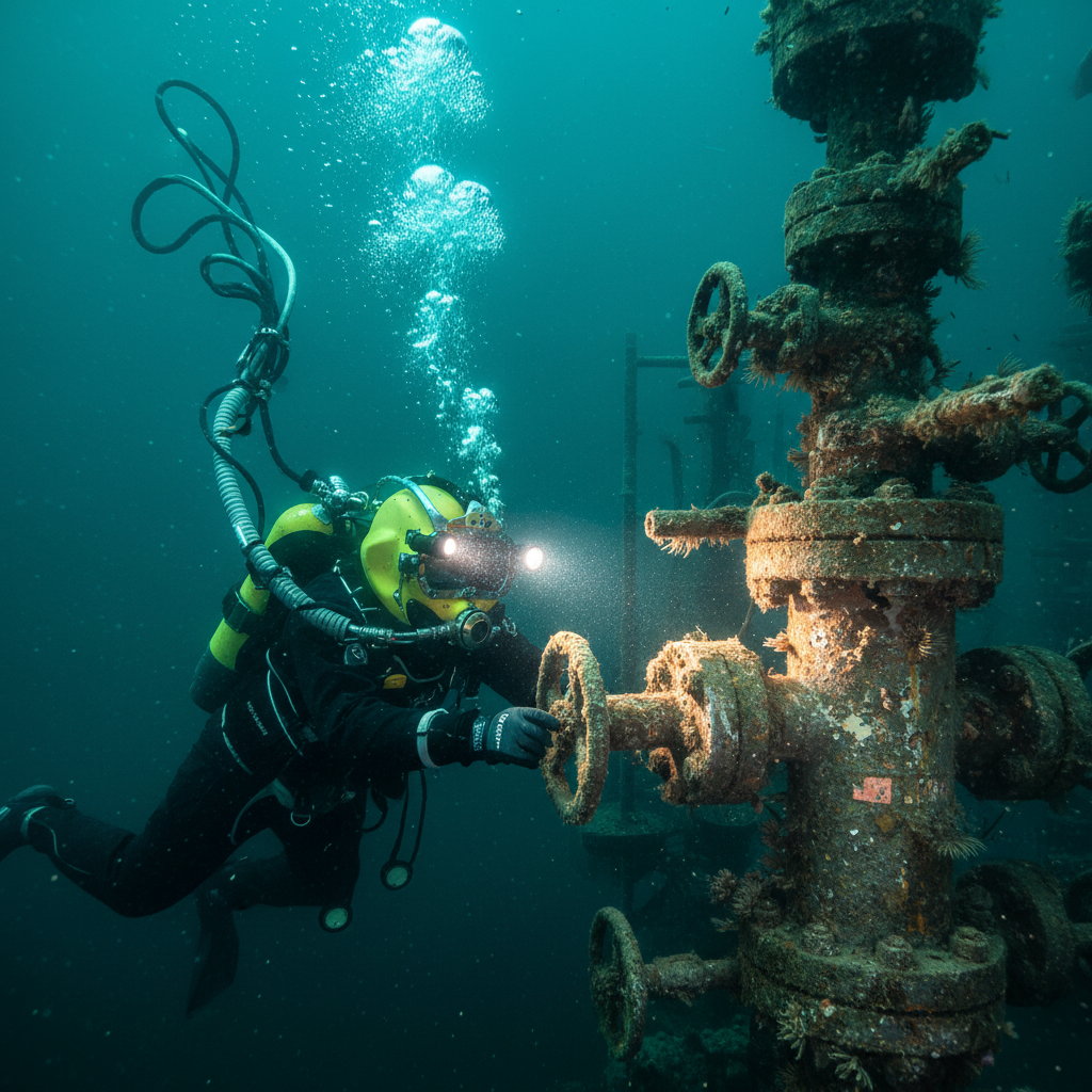
3. Ignoring Geophysical Ground-Truthing
EM anomalies are not immediately identifiable; a solid EM signature 200 metres from a known pipeline? It could be an unmarked diversion pipeline, but it could also be a wellhead, a buried container or a basalt outcrop. Think about it. Without an on-site inspection, it remains a guessing game.
Standard scheme: Correlate the results of the EM survey with other data - multibeam, magnetometer, soil profiler. If no solution is found, contact the ROV for a visual inspection or seabed sampling.
Yes, the integration of EM into Blue Insight makes these cross-comparisons easier from a software perspective. But that doesn’t eliminate the need for a thorough inspection. We have encountered situations where EM objects have been mistaken for buried cables simply because of their location and nearby known cable routes. All well and good. Good for drawing up plans. But not so good for submitting construction results to the authorities or updating the GIS.
Verify at least 10% of EM findings on site - more if new conditions or larger installations are involved.
4. Misunderstanding What “Platform Independent” Deployment Means
Kongsberg claims you can use this tech on any platform. True, sure. But your setup affects data quality and operations.
With HUGIN AUVs, expect stable altitude control, precise nav, steady speeds. Perfect for EM tech at fixed height over seabed with minimal wobble. Plan lines for overlap and check position through crosslines. Towed systems behind a vessel? Different story. You’ll face varying layback, altitude shifts, and erratic ground speed in turns. Data’s still good. The uncertainty? Bigger.
ROVs during a pipeline check? You’ll see great ground-truth potential but patchy survey geometry. It’s not planned lines, it’s eyeballing the pipeline. EM tech verifies burial depth and CP along the way, but lacks pre-planned AUV sweep coverage.
“Platform independent” implies mounting flexibility – it doesn’t guarantee consistent data quality. Tailor your survey design and uncertainty estimates accordingly.
The Real Integration Challenge
Kongsberg’s integration of EM with Blue Insight fulfils a real industry need: too many disparate data sets, each locked in their own proprietary software repository. The integration promises to eliminate the headaches associated with manual data migration.
The catch, however, is that such integration also harbours risks. Different data sets are combined in the same viewer, labelled with similar symbology and overlaid on the same map - a trap of false equivalence. Suddenly, the pipeline position determined by EM appears just as reliable as the pipeline position drawn on a multibeam map. They are both lines, right - wrong.
Wiser heads will realise that position uncertainty is not comparing apples with apples. EM positions vary with the direction of the survey line, decreasing depth accuracy and sensitivity to spatial changes in seafloor conductivity - unlike bathymetry. Pay attention to quality - provide separate uncertainty budgets for each data set, no matter how nice the overall picture looks. The IHO S-44 guideline is not suitable for EM positioning. Put together an equivalent set focussing on signal processing uncertainty, burial depth and conductivity scatter.
This is a kind of industry standard method that we are still waiting for. IMCA S 019 and IOGP 373-19 give us a clue for acoustic location uncertainty, but not for EM location. Kongsberg has solved the problem of software error; the question of uncertainty standardisation remains open.
What Changes Now
Expect to see EM sensing in more survey specifications soon. Clients who were fine with “pipeline not detected – assumed buried” will now ask for EM surveys to verify depth and position. Sensible for asset management lifecycles.
Yes, the tech works, and integration makes sense. And the danger lies in teams equating EM data with acoustic positioning, overlooking different error profiles. For effective EM survey specs, ensure:
- Clear detection benchmarks (signal-to-noise ratio, confidence level)
- Position accuracy expectations based on depth and target size
- Ground-truth percentages and methods
- Seabed conductivity metrics for EM signature context
- Distinct uncertainty budgets for nav and EM detection
- Deliverables with detected positions and confidence metrics, not just coordinates
Master this, and you’ll have well-positioned assets and fewer surprises during construction or interventions. Treat EM as just another checkmark, and the limitations will hit home when it stings most. Classic. Kongsberg made strides in deploying and integrating EM sensing. That’s real progress – it won’t untangle interpretation challenges or physics. You need expert analysis, and honest uncertainty quantification is still a must. Software doesn’t change that reality.
Based on: Kongsberg Discovery expands subsea sensing portfolio under Listen brand
Published by
Positioning & Geodesy Working Group
GNSS, INS/IMU & Coordinate Systems
A working group of positioning specialists covering GNSS, inertial navigation, datum transformations, and geodetic network design for marine and land survey operations.