Executive Summary
Woolpert and Saildrone's 13,000-square-nautical-mile survey off the Mariana Islands showing when autonomous systems justify their economics. We analyse the accuracy trade-offs, mobilisation arithmetic, and project characteristics that make uncrewed platforms viable. Most clients misjudge the break-even point between crewed vessel costs and reduced positional confidence. Understanding these boundaries determines whether you're making a strategic choice or an expensive mistake.
What Happened
Earlier this year, Woolpert and Saildrone began a large-scale bathymetric survey of a 13,000 square mile area in the Mariana Islands. They are using a 20 metre Saildrone Surveyor drone for NOAA’s marine research and coastal survey. And why? It’s one of the least explored areas in the US, and it’s all part of the grand national strategy to map the EEZ and the fantastic Seabed 2030 programme.
The best thing about Surveyor is the combination of a highly efficient diesel engine with a wind-assisted wing designed for long flights. The data is transmitted via the Saildrone mission portal to the Woolpert processing system where it is analysed in real time. We are talking about a fundamental revision of the usual economic efficiency: no crew changes, no additional ships, no reserve costs due to bad weather.
But don’t think this is just another technology demonstration. This is a full-fledged study that looks at areas where traditional vessel costs are draining your pockets faster than you can say “bankruptcy.” It’s not trivial. And yes, the specification of the platform shows that a balance has been struck between accuracy you can live with and infinite range.
Why This Matters
We’ve seen these autonomous bathymetric toys go from being tested on the beach to actually being used at sea. And this Mariana survey? It’s really big. It’s proof that unmanned platforms can now conduct large-scale data collection where their cost finally makes sense.
It’s a shift for offshore survey managers. You no longer have to check if the autonomous equipment works. It’s about whether your project fits within the framework of these systems. This means you really have to do the maths: the cost of the vessel, the weather plans, the accuracy required and how concerned you are about positional deviations.
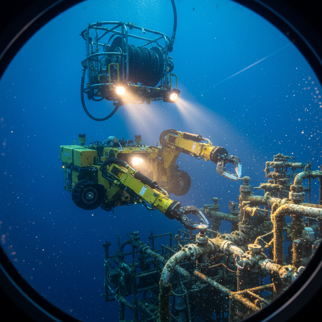
Integration is just as important here as the hardware. Real-time data streams mean you can spot errors before you’ve travelled far from the scene. That’s only fair. You get reference system drift, speed issues and multibeam problems fixed in the moment. That’s a big difference from the early autonomous surveys where you made do with what you had. Today it works thanks to three technologies: good satellite bandwidth for transmitting multibeam echo sounder data, automated processing that doesn’t bog down, and platforms that stay in place for months. If you take even one of them away? The maths no longer add up.
The Reality on Deck
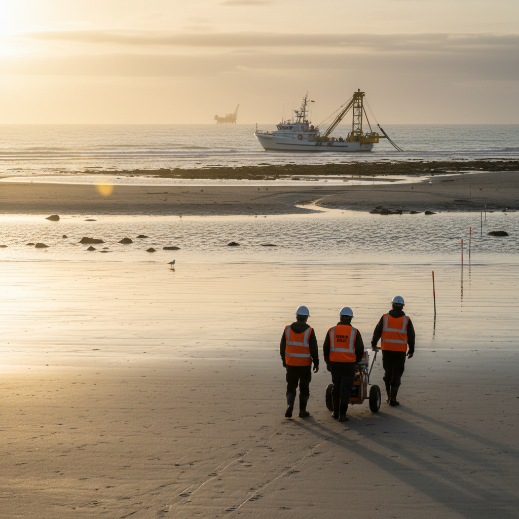
Do you carry out traditional deep-sea research in remote locations? Then you’ll need to spend between £45,000 and £75,000 per day on a proper vessel with all the necessary equipment. Don’t forget: dynamic positioning, multibeam echo sounder, bottom profilometer, sonic velocity - everything you need. Then you need to take a few days to reach the Mariana Islands. From Singapore or Guam, it’s a few days full price, and the weather holds - expect 20-25% contingency in February-April.
With 13,000 square nautical miles, you can expect 60-90 days of operation, assuming the weather doesn’t give you too much trouble. That’s £3.5-6 million, excluding crew rotation and insurance in case of equipment failure in deep waters. If you’re looking at mapping rather than construction, these figures don’t look so friendly.
Autonomous platforms? That’s another matter entirely. The Saildrone Surveyor runs on diesel-electricity and wind and stays afloat for 9-12 months. No crew changes, no electricity, only operating costs of 15-25% of the cost of a crewed vessel. This also applies to the satellite communication and the personnel for quality control on land.
Location control? Not so much - a crewed DP2 vessel determines its position to within 0.5 metres and compensates for everything down to the sea state. Autonomous driving? You live with an uncertainty of 1-3 metres. That’s a. To map sea depths of 4000-6000 metres, you go from a first-class order 1a to a calmer order 1b or a special order in shallow water. What you lose is accuracy.
Where Clients Get It Wrong
1. Applying Shelf Survey Specs to Basin-Scale Mapping
Customers usually talk about IHO order 1a as if it’s the only thing that matters. For a nationwide mapping programme, you need coverage that shows large features. That’s not what you need for pre-routing to avoid 0.5 metre boulders.
The Marianas project is aimed at mapping ecosystem zones and the like, and order 1b with 1% depth uncertainty is fine, but if you aim for order 1a, the cost triples with no real benefit.
Clients; lazy planners who don’t ask themselves what accuracy the solutions need to have. They map 13,000 square nautical miles of empty space and don’t check the foundations for an oil rig; choose the right data at the right price. Destroy a project with insane accuracy requirements? Classic.
2. Underestimating Weather Contingency in Remote Locations
The Northwest Pacific is not a sedate place. Hurricanes from June to November and 4-metre waves even outside the storm season - normal research vessels sail in sea state 4, maybe 5 if you’re lucky. And then? They are on standby.
Autonomous platforms? That’s a completely different matter. The Saildrone Surveyor traverses sea states 6-7 and holds lines that many would shy away from. Expect 10-15 extra productive days over 90 days, and customers who don’t consider this operational advantage will miss the boat.
We have learnt from experience in the West of Shetland where the weather promises do not match the reality. An autonomous platform doesn’t care that crews can’t transfer safely. It simply works and transmits data while your conventional vessel waits for calmer seas.
3. Ignoring Sound Velocity Profile Frequency Requirements
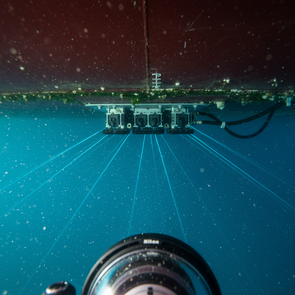
The accuracy of a deep-sea survey depends largely on the frequency of the sound velocity profiling. In the vicinity of the Mariana Islands, complex layers of water are cut through. The manned ship drops trays every few hours and corrects them while travelling.
Autonomous platforms use fewer probes. Saildrone Surveyor does not specify numbers, but similar vehicles carry 50-100 probes for multi-month missions. This means a profile is taken every 12-24 hours, which means the vertical accuracy is not the same as a crewed vessel.
Customers misjudge this and later realise that their errors exceed the specifications. The speed cannot be corrected after the fact. You have to build it into the design or accept the variability of the position. That’s what we did offshore in Brazil, where a thermocline thwarts your plans. Autonomous systems can’t keep up with a continuous CTD. When it comes to accuracy, they are a major headache.
4. Overlooking Data Latency in Processing Workflows
Near real-time data transmission is great, but not free. The Woolpert-Saildrone integration sends data on the fly, which means that shot lines are adjusted while the equipment is still in the vicinity.
But the hidden costs? The 24/7 presence of onshore personnel to manage the data flow. Customers order off-grid equipment hire but forget the cost of a shore-based team. They need surveyors who can quickly check the quality of sightings, overlays, speed corrections and error corrections.
Compare this to post-survey data processing: uploading datasets after deployments takes weeks. Autonomy makes the difference: constant processing of small quantities instead of one-off processing of large quantities.
We’ve seen customers unprepared and paying the price in the middle of a survey because they didn’t realise the errors had gone undetected for weeks. Costly errors, corrupted data, and until then? The autonomous drilling rig had travelled many kilometres away from the problem. Recovering the data could cost more than the entire autonomous project.
Platform Selection: When Autonomous Makes Sense
There are three criteria that fit perfectly with autonomous bathymetric projects: remote locations that make mobilisation impossible, large-scale mapping work with an accuracy in the order of 1b, and schedules designed for months of work. The Mariana Islands fulfil all these requirements. Delivering a DP2 with crew from Singapore or Guam would cost between £300,000 and £500,000. Not an ideal option. Their task? To map the vastness - not to hit a specific target. If your project claims to fulfil these criteria, you should work autonomously. Don’t kid yourself.
What does this have to do with research prior to the installation of facilities such as offshore wind turbines? Not at all. You need special precision to ensure that a turbine is installed correctly, for example. But when you’re working close to shore and the crew can easily be displaced? Probably not. Our rule of thumb? If mobilisation accounts for more than 20% of the project cost and the site is more than 1,000 square nautical miles deep? Then autonomy is worth considering. Crewed vessels provide more and better data at a smaller size.
Accuracy Trade-offs: What You Actually Lose
Everyone quotes the IHO S-44 for bathymetry, but the actual effects? That’s another matter entirely. The special order requires you to be hardwired to a vertical of 0 - 25 metres. Order 1a extends this to 0; 5 metres plus a little depth. Order 1b allows a little more leeway - certainly less precise, but what do these numbers really mean?
At a depth of, say, 1,000 metres, order 1a allows 10. 5 metres of uncertainty - order 1b? 13. 13 metres. If you encounter 3 metre hazards, this difference is significant. For regional maps of the seabed? Vanishingly small. Autonomous propagations provide order 1b at depth, dropping to a weaker order 2 at larger sound speed distances. Detection of depressions: yes. Reduction of scree fields? Definitely.
Horizontal bits? With a manned crew and good GPS fixes, accuracy could be within a metre. Autonomous UE clearer? Accuracy 2-5 metres, especially in swell. This is very powerful and blurs areas that are not suitable for precision work.
The real goal is not just accuracy for accuracy’s sake when it’s not needed. Data is needed that is appropriate for the task at hand. Nationwide scales, renewable energy studies, basic environmental studies - the sacrifices made here are worth capturing in full.
Integration Architecture: Why Real-Time Matters
Woolpert transfers the data automatically and almost in real time from the boot to the base. With older systems, the data was stored on hard drives and problems were experienced when it was restored. Real-time operation changes this risk picture for the better.
When processed data is passed directly to shore systems (6-12 hours after receipt), quality control can detect audio problems and gaps in coverage. This cycle transforms an autonomous system from a “dumb” reconnaissance system into a well-managed system.
Throughput: This is no joke. Multibeam delivers 50-200 GB per day, and satellites are not cheap - £15,000-25,000 per month at full capacity. Customers sigh - until they think of the alternative: let the recording fail, then re-record and repeat.
For this reason alone, we use Iridium Certus for ROVs. The real-time telemetry of the underwater equipment saves time and allows us to correct errors on the spot. This saves redundancy on board and double launches. The same logic applies to autonomous systems.
Buyers looking for savings at the expense of less real-time integration gamble and lose, often ending up with dodgy cost estimates rather than survey data.
What This Means for Your Next Project
Go offline if you need national maps, environmental maps or large offshore cheques. Do you have the necessary range? The Mariana Trench shows that this technology can also work in the real world.
But consider what you actually need in terms of accuracy, computing power and time. If you need extra accuracy, forget about autonomy. Are you skimping on quality control costs? Expect more messy records. Urgent research in a 6 week time frame? You’ll need crewed ships again.
Questions for clients checking into autonomous options:
-
Why do you need data? Underwater construction requires precision. Scanning marine habitats? Prioritising coverage of the entire map.
-
What mobilises your fleet? Beyond 500 nautical miles, the cost of autonomous operation drops rapidly. Below 200? Then Crewied still saves money.
-
How exactly should we proceed? Don’t overdo it with the specifications. Adapt to needs, not tradition.
-
Can your schedule handle months of data collection? These platforms are built for the long term. If you’re in a hurry, this is not the right choice.
-
Do you have the infrastructure to handle real-time waves? A lack of quality control means that problems will quickly accumulate.
Answer these questions honestly, and you’ll know whether an autonomous platform makes sense or is a big step forward. The Marianas worked because NOAA mapped it correctly: a regional giant in need of a 1b order, an offshore world - with time and data systems in place. If your project reflects this, consider autonomy. If not, stop with the crews. Autonomous systems have their own pockets, and if you understand these, you won’t support technologies that don’t do the job.
Based on: Woolpert and Saildrone target bathymetric gaps in the Mariana Islands region with uncrewed systems
Published by
Hydrographic Methods Committee
Bathymetry, Multibeam & Seabed Mapping
An independent review committee focused on hydrographic survey methodology, IHO standards interpretation, and seabed mapping best practices for offshore and coastal projects.